-ad 189-

Posted In Alexander Graham Bell

This is Bell’s hand-drawn map of downtown Washington, D.C., centered on Scott Circle. Rhode Island, Connecticut, and Massachusetts Avenues are all clearly visible on the map—as well as 15th through 19th Streets. At the intersection of Rhode Island Avenue and 15th Streets, Bell indicated the location of his Washington, D.C., residence by scrawling “A.G. Bell.” The National Geographic Society headquarters on M Street between 16th and 17th Streets would be located on the far left side of this map.
An Incredible Hand-Drawn Map of Washington, DC Centered on Scott Circle
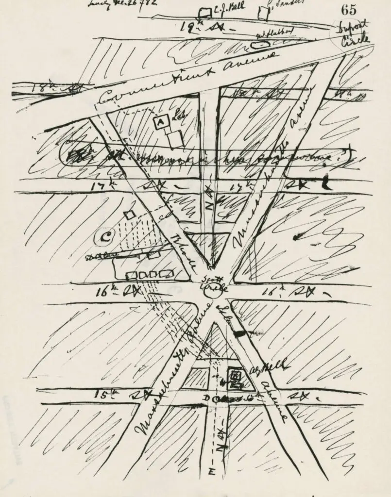
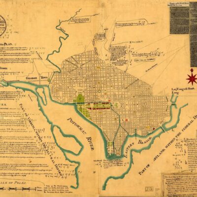
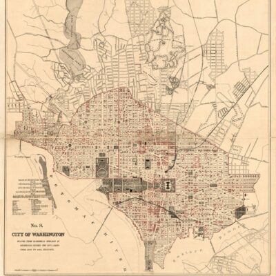
Check out this incredible hand-drawn map of Washington DC, centered on Scott Circle! You'll see Dupont Circle at the top right. Don't miss out on the play at the National Geographic headquarters (M St. between 16th and 17th) September 12-14 and 19-21. Get your tickets today!
Washington, D.C., circa 1919. "Chesapeake & Potomac Telephone Co. switchboards." Harris & Ewing Collection glass negative.
The History of the Telephone in Washington, D.C.: From the Civil War to the Present
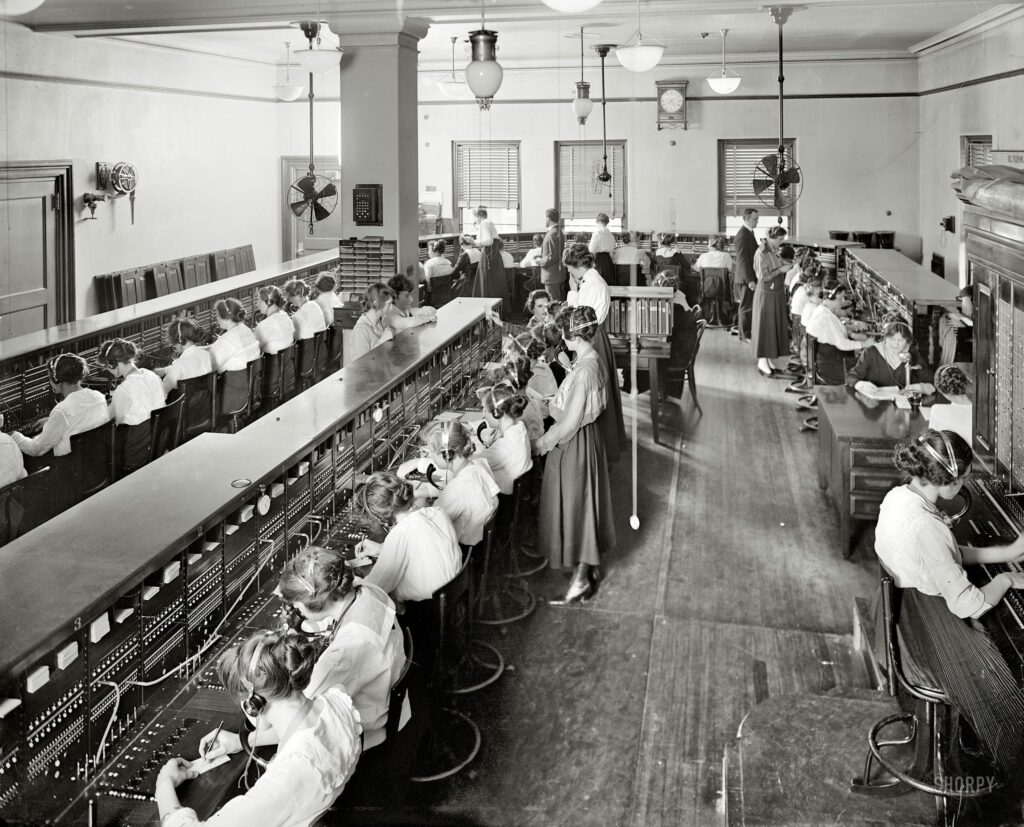
Learn about the history of the telephone in Washington, D.C., from the Civil War to the present. Read about the first telephone directory, the first telephone exchange, and the first telephone operators in D.C.
1321 33rd St. NW in Georgetown house on left (Google Street View)
A DC Story From 1321 33rd St. NW: Alexander Graham Bell, The Kennedys, General Douglas MacArthur and More
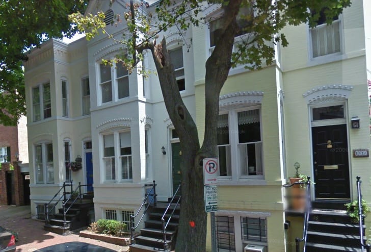
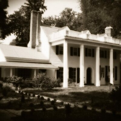
A wonderful story from GoDCer Sharon about her great great grandfather purchasing the house at 1321 33rd St. NW from Alexander Graham Bell, the Kennedys living around the corner, and General Douglas MacArthur's wife living next door. Read the amazing DC story here!

Enjoy daily

Ghosts of DC stories.