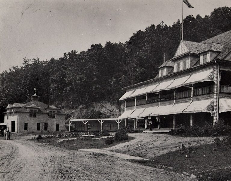
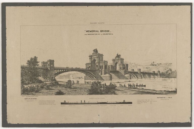
Here’s a cool map that we dug up in the Harvard University online archives.

Some of our stories are researched and written with help from AI, and checked by a person before they run. Here’s how we use AI.

Try an address, a neighborhood, a name or a year, like “14th and U” or “1968.”
Not sure where to start?Explore a piece of history with a fascinating map from the Harvard University online archives. Take a look back to explore the District of Columbia in the late 1800s.
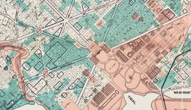
Here’s a cool map that we dug up in the Harvard University online archives.
Some of our stories are researched and written with help from AI, and checked by a person before they run. Here’s how we use AI.
Filed underGoDCers Love Maps
Topics1930s
Get new Ghosts of DC stories by email.
The lost and untold stories of Washington, DC, in your inbox.