

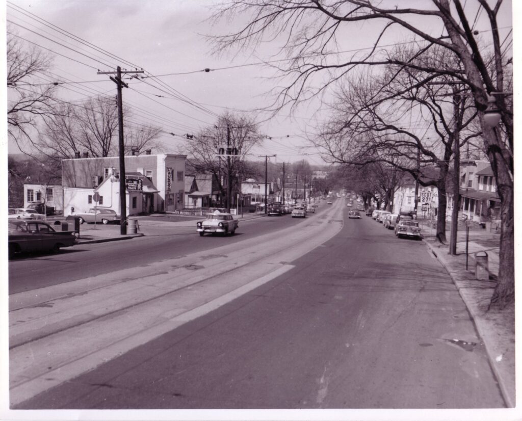
The caption calls this rush hour, in quotation marks. Count the traffic. One pickup truck, one tractor-trailer, a few sedans, and a man in a light summer suit strolling across Wisconsin Avenue in the middle of the block.
It’s June 30, 1960, on Wisconsin Avenue NW just south of O Street in Georgetown. Washington DC was six months into the 1960s, and this quiet stretch of pavement holds three of the decade’s big stories: the streetcars that had just disappeared, the freeways that were coming, and a Georgetown neighbor who was about to become president.
What’s in the Picture
Start on the left. The awning reads “Magruder, Inc., Georgetown Branch.” Magruder’s was a Washington grocery founded in 1875, and its Georgetown store was still running in 1967, when Louis Fanaroff and his brother-in-law Stanford Steppa bought it along with the Chevy Chase store.
Farther up the block, a tall vertical sign spells out GEORGETOWN. That’s the Georgetown Theatre at 1351 Wisconsin Avenue. It opened in August 1913 as the Dumbarton, took the Georgetown name in 1950, and stopped showing movies in the 1980s.
Now look at the street. Two sets of streetcar rails run up the middle, and each track has a narrow third slot between the rails.
That slot was the power supply. In this part of the city, Washington’s streetcars drew current from a conduit buried under the pavement, through a metal “plow” that hung down from the car. Farther up Wisconsin, the cars switched to overhead trolley wire.
The Streetcars Had Just Left
No paying passenger had ridden those rails in almost six months.
Early on Sunday, January 3, 1960, D.C. Transit ran its last streetcars on three lines: Cabin John, Georgia Avenue, and the Tenleytown line up Wisconsin Avenue. The Evening Star put it on the front page that morning. A citizens’ group had made an eleventh-hour try to stop the switch to buses, and failed.
Inside the same paper, Star writer John McKelway said goodbye. Around 1:30 a.m., he wrote, a streamliner was due to make its familiar noise “rounding the curve into M street from Wisconsin avenue for the last time.”
He also remembered the winter hazard. A link of skid chain off somebody’s car would wedge into the slot and rip the plow right off the streetcar. The dead car then had to be pushed up to Wisconsin and P Streets, where it could be brought back to life on the overhead wire.
Why the hurry? When Congress handed the city’s transit franchise to O. Roy Chalk’s D.C. Transit System in 1956, it came with a condition. The streetcars had to be gone by 1963.
Chalk beat the deadline by a year. In the early hours of Sunday, January 28, 1962, car 766, a 1919 streetcar, made the system’s final run. The Star reported that rail fans came from all over the country to see it off.
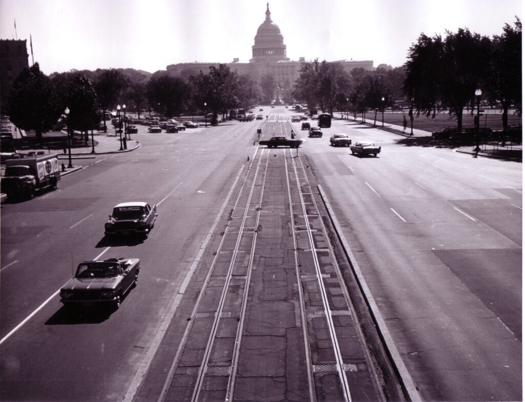
Washington DC in 1960
That same January 3 front page carried a look ahead at the new decade by Star staff writer Grace Bassett. Her headline said the District was entering an era of change.
She ran down the list. A $60 million cultural center beside the Potomac in Foggy Bottom. A 50,000-seat stadium on the Anacostia shore. A record 7.5 million tourists. And a presidential election in November that would “remind Washingtonians they can’t vote.”
Most of it happened. D.C. Stadium opened on October 1, 1961, and was renamed for Robert F. Kennedy in 1969. The cultural center became the John F. Kennedy Center for the Performing Arts and opened on September 8, 1971.
The vote came faster. The 23rd Amendment was ratified on March 29, 1961, and Washingtonians voted for president for the first time in 1964.
The city itself was getting smaller. The 1960 census counted 763,956 people in the District, down 38,222 from 1950, while the metropolitan area passed two million.
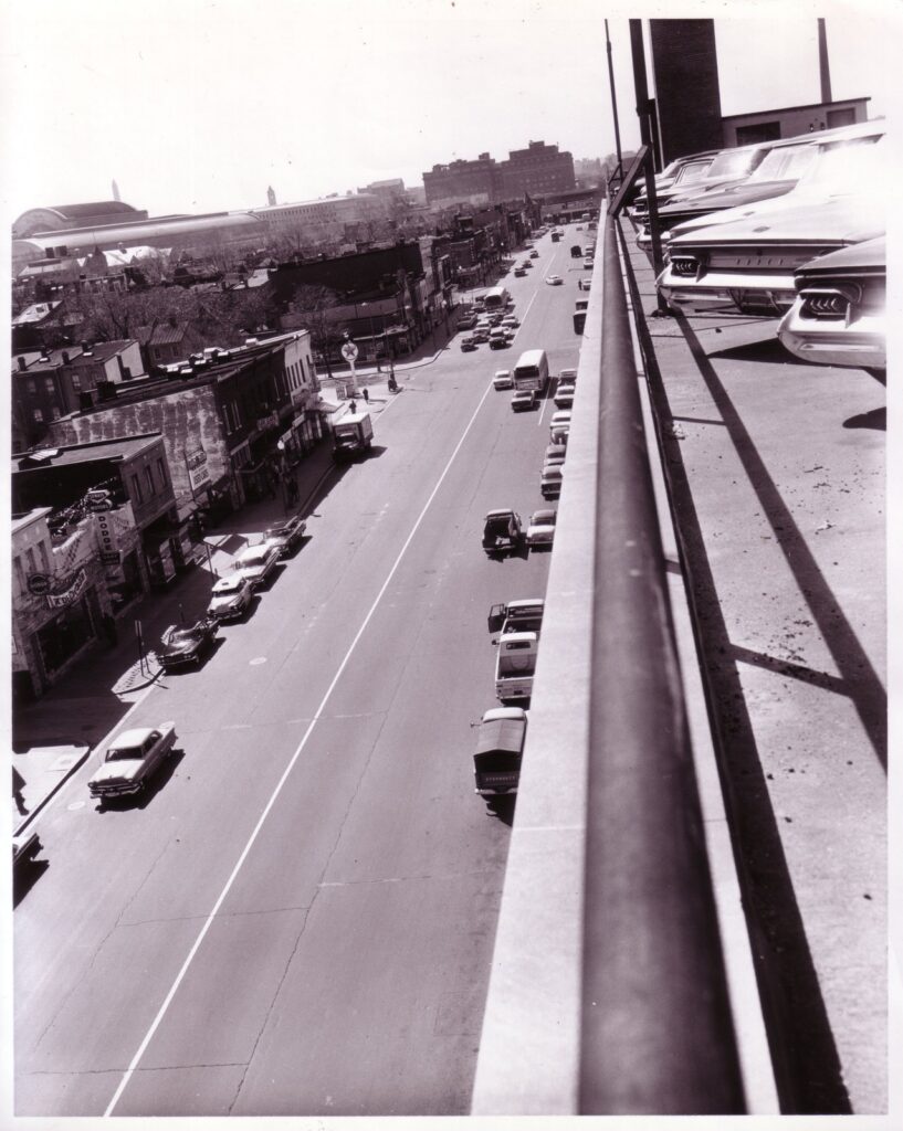
And the most famous man in Georgetown lived a couple of blocks from this photo. Senator John F. Kennedy had moved into 3307 N Street NW in January 1958.
He announced his run for president on January 2, 1960, the day before the Wisconsin Avenue streetcars quit. Thirteen days after this photo was taken, he won the Democratic nomination in Los Angeles. After the election, he ran much of his transition out of the N Street house, a short walk from Martin’s Tavern.
The Freeway Fight Begins
Two weeks after this photo, on July 14, 1960, the day after Kennedy’s nomination, President Eisenhower signed the National Capital Transportation Act. It created the National Capital Transportation Agency, the federal planning body whose work laid the groundwork for Metro.
It also told the highway builders to wait, right in Georgetown’s direction. Tucked into the law:
Provided, That no freeway, or new parkway more than two lanes in width, shall be built within the District of Columbia west of Twelfth Street, Northwest, and north of either the north or west legs of the proposed Inner Loop Freeway, the proposed Potomac River Expressway, or the proposed Palisades Parkway, before July 1, 1965.
The District’s highway engineers had big plans for that corner of the city. By 1961 they were pushing the Three Sisters Bridge across the Potomac just upriver from Key Bridge, as part of the Potomac River Freeway and Interstate 66.
In 1963 the city’s commissioners were still asking for every freeway on the map. Neighbors fought back, and the fight ran through the decade into the 1968 war over DC’s interstates. The Three Sisters Bridge was never built. The plan was canceled for good in 1977.
Elsewhere, the bulldozers were already moving.
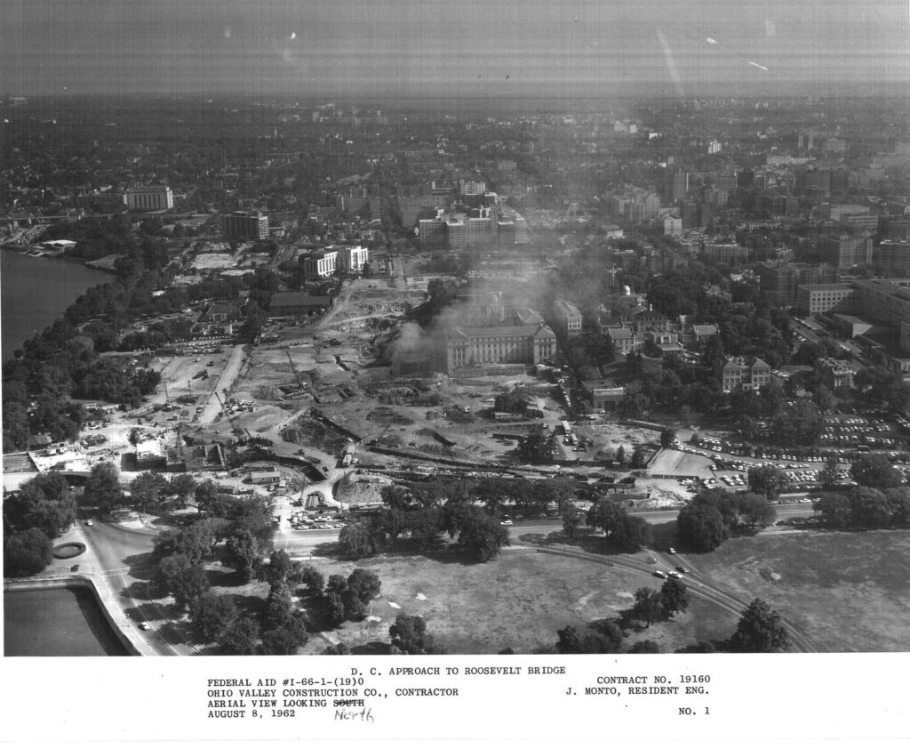
The Rest of the Decade
The quiet street in the photo was not the Washington most people remember from the 1960s. That city filled the Mall on August 28, 1963, for the March on Washington for Jobs and Freedom.

By 1966, planners had drawn up a rail system to replace what the streetcars once did. It would take another decade to open.
Back on Wisconsin Avenue, the Georgetown Theatre’s sign is still hanging. Architect Robert Bell had it re-created by the company that originally made it, and it went back up over the street in July 2015.
The streetcars are gone. The sign is still there.
We dug this one up with help from AI and checked it against the original records below. Here’s how we use AI.