The history behind the Federal Triangle moniker reveals an intriguing story intertwined with the urban evolution of Washington D.C. in the early 1900s. This area, bounded on three sides by Pennsylvania Avenue, Constitution Avenue, and 15th Street NW, was central to ambitious early 20th century urban planning projects.
Let’s uncover how this giant city block came to be. The answer lies in an era of grand government construction plans aimed at beautifying the nation’s capital.
Defining the Borders of Pennsylvania Avenue Triangle
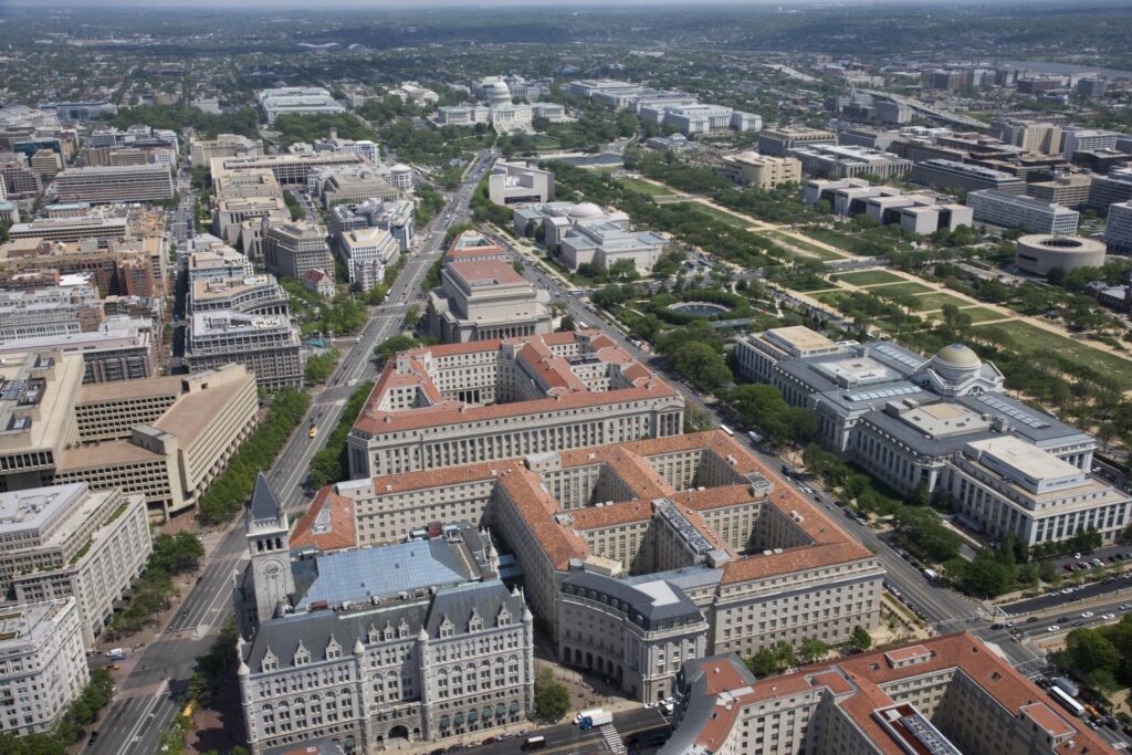
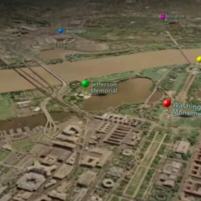
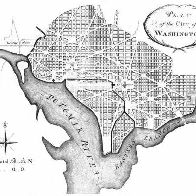
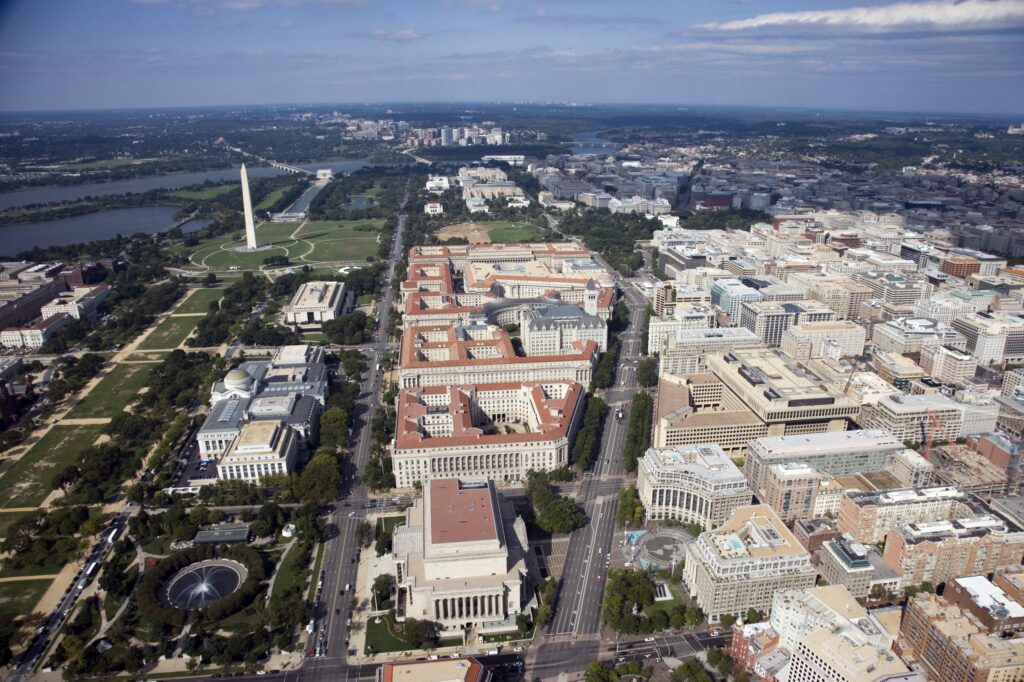
This triangle-shaped tract of land, originally dubbed “Pennsylvania Avenue Triangle,” sits in downtown Washington D.C., bounded to the north by Pennsylvania Avenue, to the south by Constitution Avenue, and to the east by 15th Street NW.
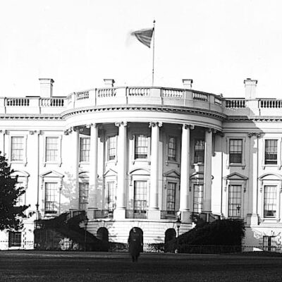
As described in a 1988 Congressional hearing record, the boundaries create a “right triangle” stretching from the White House‘s backyard to the U.S. Capitol. The area covers around 10 acres of highly valued real estate in the heart of the nation’s capital.
Within these borders sit a cluster of prominent federal government office buildings constructed in the 1920s and 1930s. Notable structures include the Environmental Protection Agency, Department of Justice, Federal Trade Commission, National Archives Building, and Ronald Reagan Building and International Trade Center.
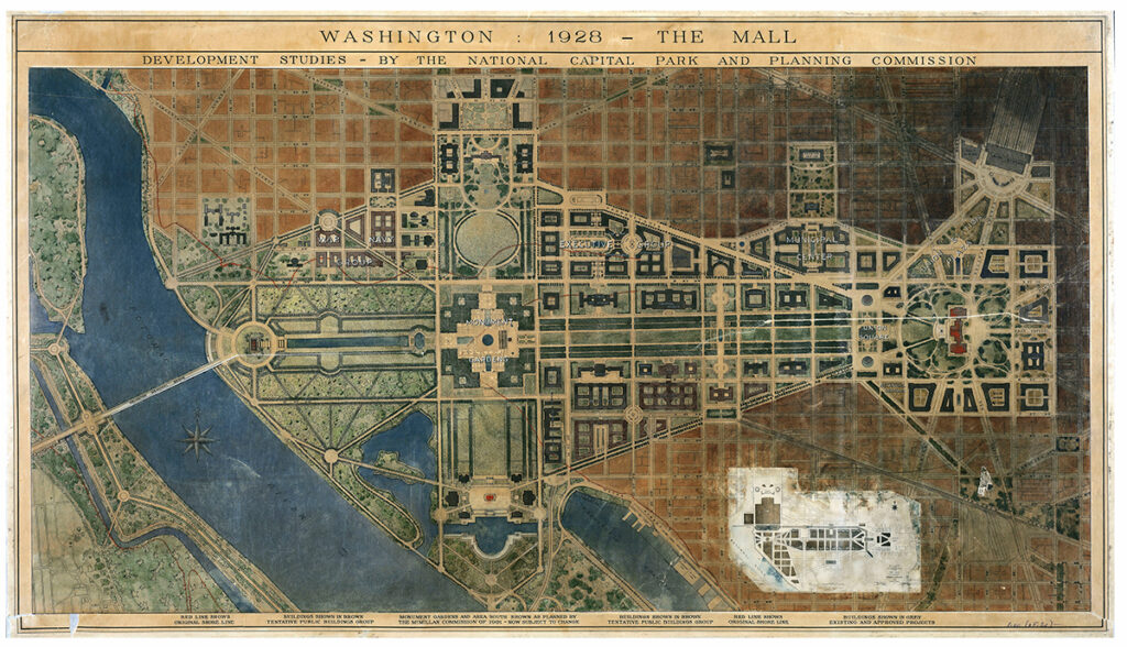
The original 1926 plan for city block called for eight monumental buildings designed in a neoclassical architectural style. They were deliberately situated around two public plazas to create a City Beautiful civic center meant to inspire awe in visitors.
Despite its triangular shape and National Mall location giving a sense of inevitability, it lacked a formal name for years during initial planning. The specific “Federal Triangle” name emerged gradually through the press, despite the eye-catching buildings aligned with D.C.’s grand redevelopment vision.
Thus, while the borders create a distinct footprint, the name origins tie more to bureaucratic planning rather than the area’s geometry.
The Origins of the Federal Triangle’s Name
The area’s moniker we know today emerged gradually through the early 20th century as the area transformed.
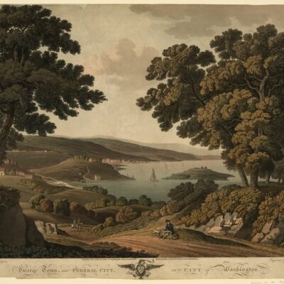
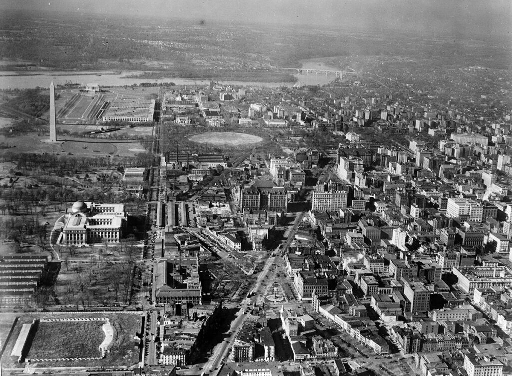
Originally, the tract of land near the White House contained some of Washington D.C.’s most notorious slums, including the violent and impoverished locales of Murder Bay and Hooker’s Division. But visionary urban planning efforts targeted this downtrodden neighborhood for an ambitious redevelopment into a stately federal civic center.
As discussed in a 1988 Congressional hearing record, plans coalesced in the early 1900s to replace the blight with a “grouping of public edifices.” In 1926, the New York Times first referenced the “Pennsylvania Avenue Triangle” in an article about funding appropriations for new public buildings in D.C. Over the next decade, verbose names like the “Pennsylvania Avenue triangle of Government buildings” peppered the press.
Finally on August 4, 1935, the Associated Press first coined the pithy label “Federal Triangle” in a New York Times piece describing the completed complex of government buildings.
Shortly after this seminal naming, President Herbert Hoover affirmed his support for the massive project in his post-inauguration speech:
This is more than merely the making of a beautiful city. Washington is not only the Nation’s Capital, it is the symbol of America. By its dignity and architectural inspiration we stimulate pride in our country, we encourage that elevation of thought and character which comes from great architecture.
Throughout the later 1930s, both the formal “Federal Triangle” and the more colloquial “The Triangle” appeared in newspapers. By the decade’s end, the formal label solidified as the area’s enduring name.
However, unlike many Washington places, this moniker emerged not from any formal naming process, but rather from federal bureaucracy and repeated journalistic shorthand. While the architecture lent form, ultimately it was the press that shaped the identity we know today.
The Enduring Legacy of The Triangle
Decades after its development, the area remains a distinctive monumental fixture in Washington D.C. As a 1987 Congressional proposal described, this apex of federal power still reverberates with early city planning ideals.
Within its neoclassical buildings, essential governmental agencies like the EPA and IRS carry out functions critical to national interests. Visitors can even see the original Declaration of Independence in the National Archives.
Although some deride the government city block as antiquated, its National Historic Landmark status affirms its ongoing prominence. Ultimately, as the city evolved, the area endures as a testament to the elaborate 20th century aspirations that molded the capital city.
More Notable Area Sights
Beyond just its name, the area contains many noteworthy sights for visitors to Washington D.C. Exploring this triangle within a triangle provides insight into both national history and the local character of the capital.
As described in a 1988 Congressional hearing, the Federal Triangle contains numerous buildings representative of America’s democratic institutions, making it a destination for tourists and residents alike. Some key attractions include:
- The National Archives Museum – See the Declaration of Independence, Constitution, and Bill of Rights in the Rotunda for the Charters of Freedom. The Archives building was one of the original structures planned for the area in the 1920s.
- The Old Post Office Pavilion – This historic Pennsylvania Avenue National Historic Site and clock tower now contains shops and restaurants. The Romanesque Revival style building predates the triangle.
- The Herbert C. Hoover Building – Home of the U.S. Department of Commerce. The massive granite building overlooking the National Mall was dedicated in 1932.
- The William J. Clinton Federal Building (formerly the Ariel Rios Federal Building) – Originally called the U.S. Post Office Department Building, this historic Classical Revival structure now houses the Environmental Protection Agency.
- Freedom Plaza – Stone inlays designed by L’Enfant mark significant events in U.S. history in this public square. Opened in 1980, it represents the area’s continued evolution.