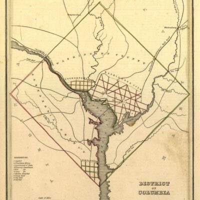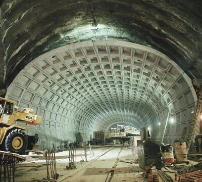
As with any massive public project, Metro was full of contentious debates and heated arguments. Ultimately, we know where we ended up, but back in 1966, things we slightly different and proposals didn’t fully become realized.
We’ve written a few posts about Metro’s history in the past, and this is another great article that we dug up in The Washington Post from December 2nd, 1966.
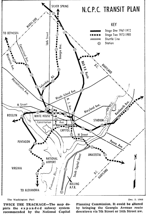
Washington’s proposed 19-mile subway system should be doubled in length by 1985, the National Capital Planning Commission declared yesterday.
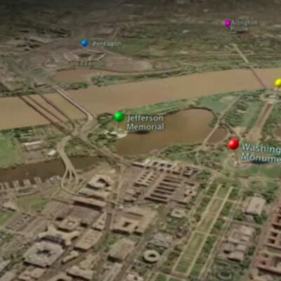
Lines should be added to serve the outer Georgia Avenue and Anacostia areas and an additional link should be built across the Potomac River to a station at National Airport, the Commission said.
The planning agency recommendations, part of the forthcoming 1985 Plan to guide Washington’s growth, were unveiled at a Commission meeting on the eve of a three-day conference of Federal and regional rapid transit officials at Airlie House, near Warrenton, Va.
The 1985 Plan proposals were published in advance, apparently in an attempt by the planners to convince transit officials that the 19-mile system authorized by Congress within the city–part of a 25-mile network extending into the suburbs–would be inadequate.
The alternative, the document said, would be to build a freeway system “larger than can or should be built in the District of Columbia.”
Thankfully that freeway system was never built in the District. There were quite a few political and community battles the ultimately prevented the development. Read about the unbuilt Three Sisters Bridge and the lack of a highway through the heart of the city.
The piece continues below.
Yesterday’s statement brought warnings from two Planning Commission members, G. Franklin Edwards and Engineer Commissioner Charles M. Duke, that tinkering with the authorized system could create political and economic problems that might torpedo the whole project.
William I. Herman, director of planning and finance for the National Capital Transportation Agency, sitting as an alternate member of the planning body, replied that major parts of the authorized system could be undertaken even while changes in other sections were being considered.
Congress would have to approve any substantial changes.
Suburban extensions and completion of the city system with a single financing package will be among the responsibilities of the new Metropolitan Area Transit Authority, which will replace NCTA next year. The Transit Authority arranged the Airlie House meeting, much of which will be held in secrecy.
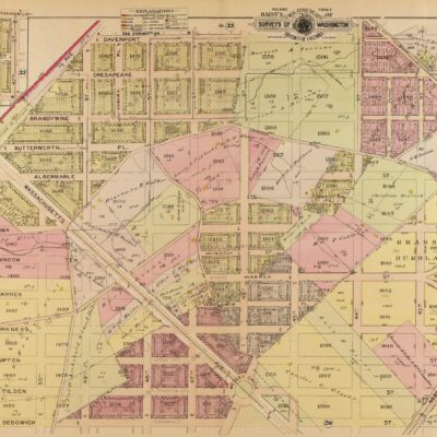
Here’s a really cool proposed map for the system from the article. Look how there’s a line that breaks off down Columbia Rd. in northwest.
The article continues.
NCTA itself disclosed recently that it is studying two possible major changes in the authorized s;ystem–adding a line looping through the Southwest Mall office area, and eliminating the line out Columbia Road to Georgia and New Hampshire Avenues nw., regarded as the weakest on the system.
…
Its proposed additions, doubling the system within the city, would be dug as a second stage between 1973 and 1985.
Under the planners proposal, the line out Georgia Avenue would be an extension of the now-uncertain Columbia Road line.
Both the Commission and NCTA officials say that area directly north of downtown–which includes the proposed Shaw urban renewal project, the Cardozo neighborhood, the Columbia Heights shopping area and Walter Reed Army Hospital — could be served by an alternative line from downtown beneath Georgia Avenue and either 8th Street or 14th Street. It would be built as part of the second stage.
…
Other than indicating a National Airport station, the plan makes no specific proposals for suburban extensions other than to indicate potential subway corridors. It advocates connections to Dulles and Friendship International airports.
Well, clearly, the alternative lines from downtown up 14th and 7th streets ended up happening but it’s so interesting to see the process and potential alternate history we could have witnessed.