
-
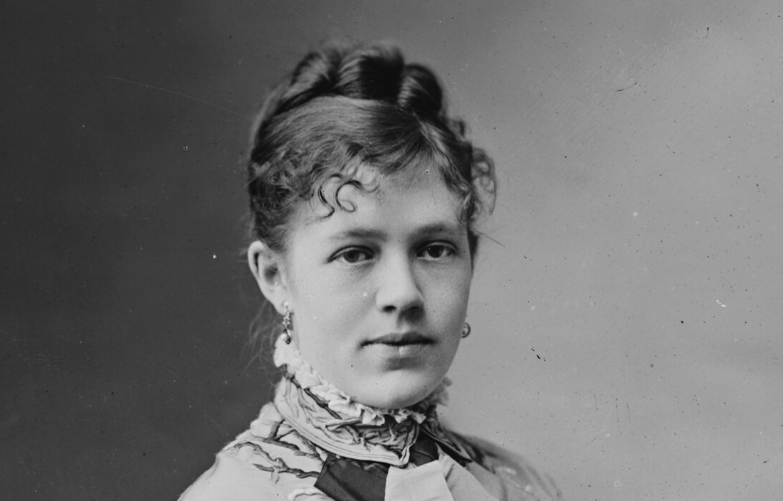
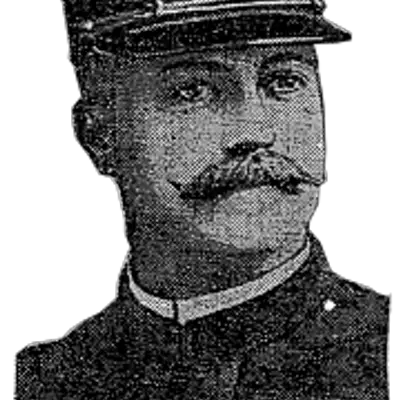
Nellie Grant’s 1874 White House Wedding and the Father Who Wept Upstairs
When the cake was being cut, the President was upstairs sobbing. The story of Nellie Grant’s 1874 White House wedding, the East Room Grant rebuilt for her, and the marriage…
-
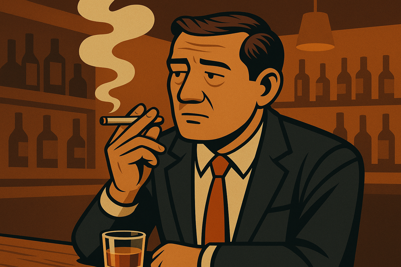
When Did They Ban Smoking in DC? A History of Washington’s Indoor Smoking Ban
Washington tables still held ashtrays until a 1997 Clinton order and a decade-long fight at the Wilson Building cleared the…
-
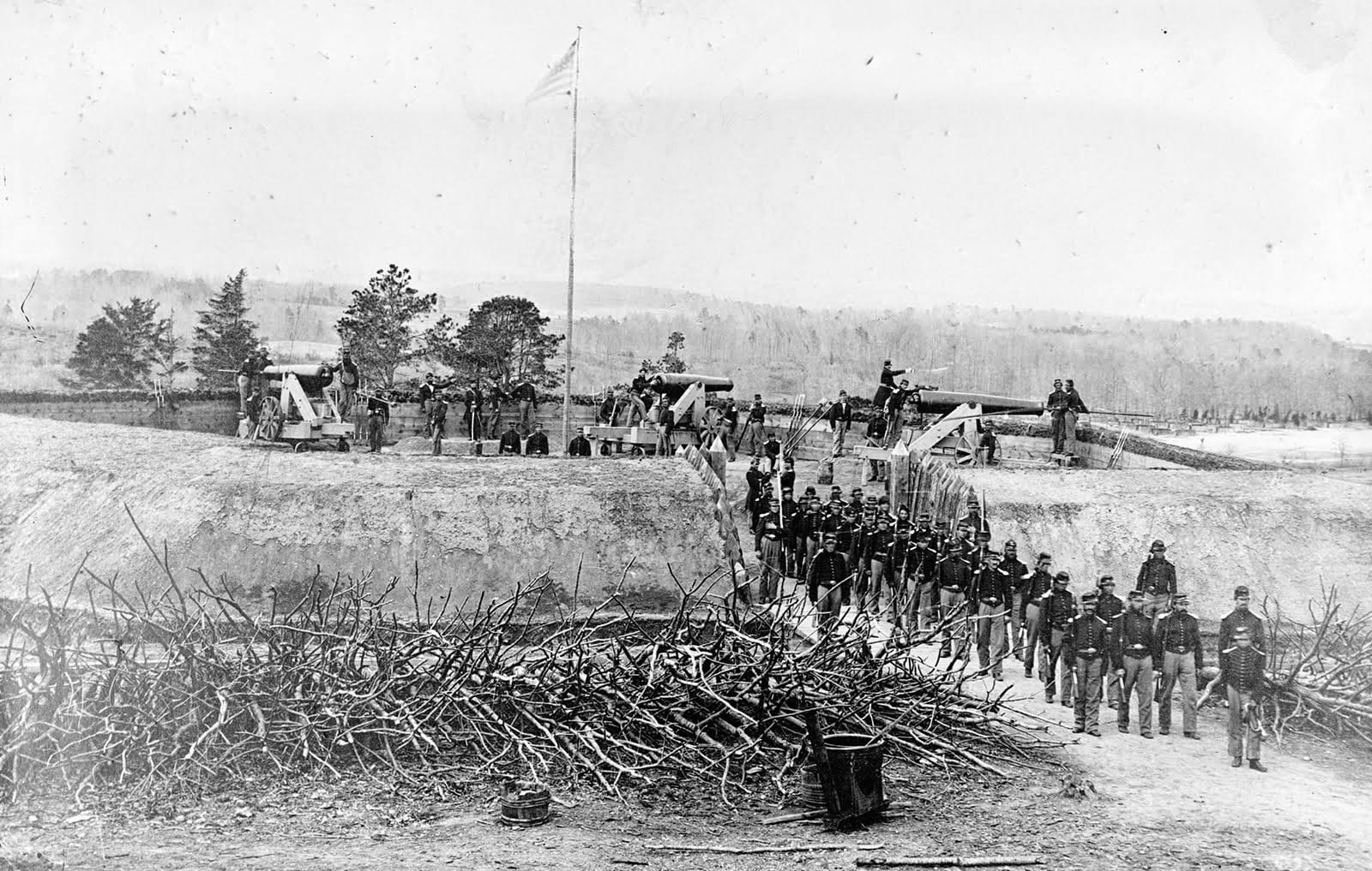
Civil War Reaches Tennallytown
The Civil War reached the outer edges of Washington in 1864. It was so close that President Lincoln rode near…
More Featured Stories
-
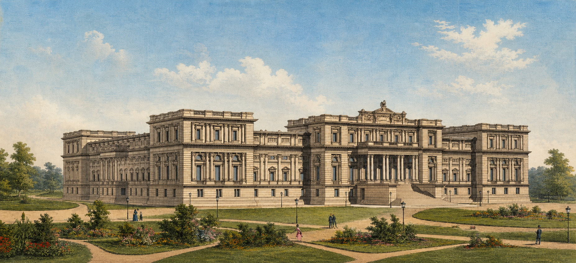
The Architects the Library of Congress Forgot
-
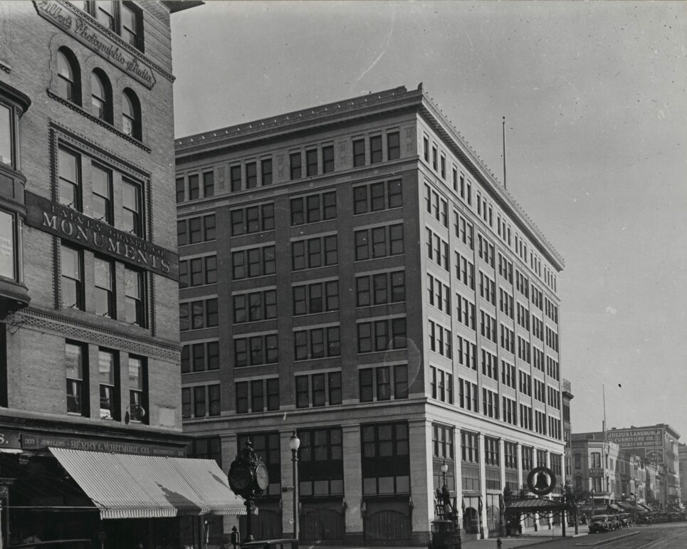
Take a Trip Back in Time: Woodward & Lothrop Building in Washington 100 Years Ago
-

Exploring the Development of Chevy Chase in 1907
-
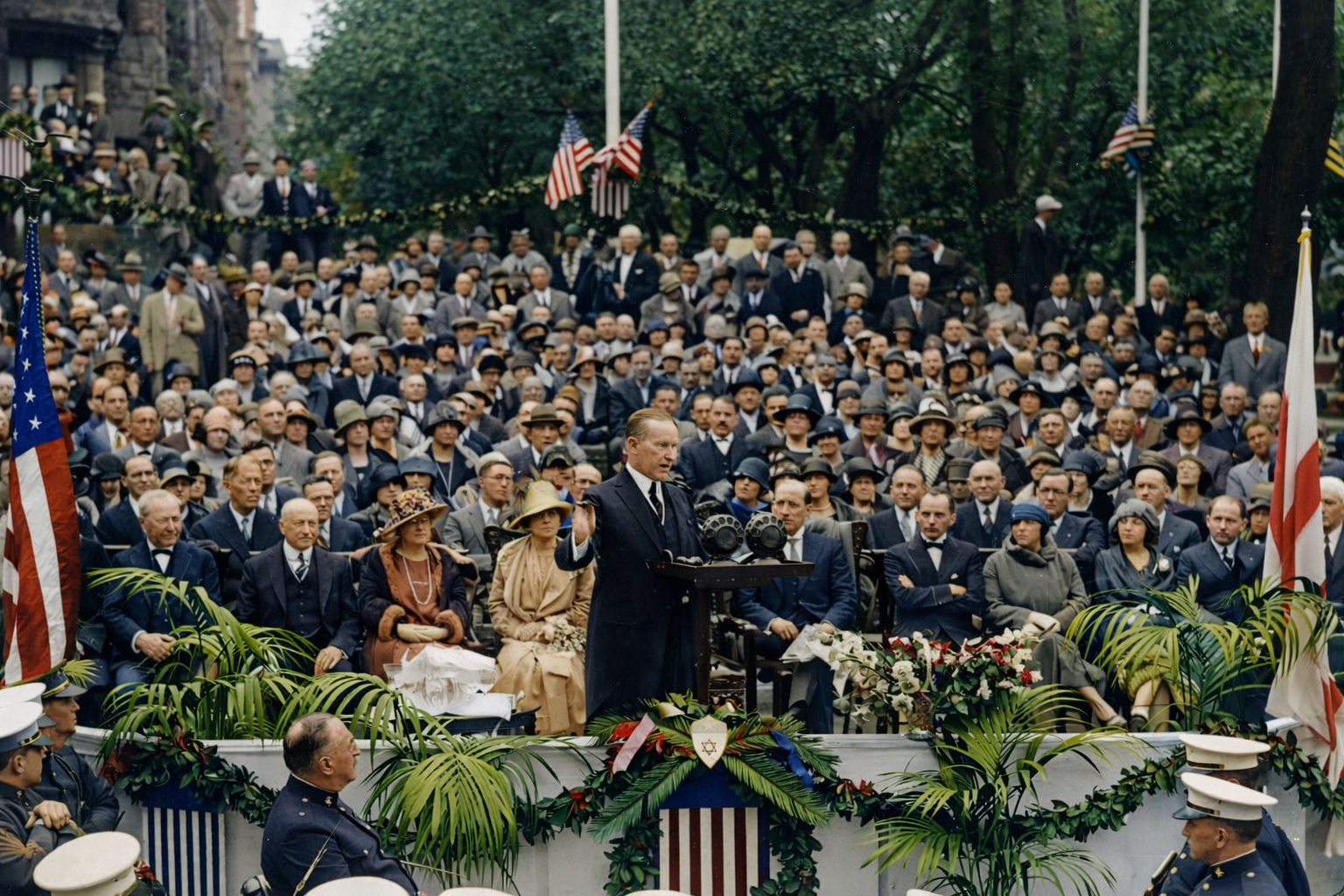
DC JCC at 16th and Q: From Coolidge’s 1925 Cornerstone to Today
-
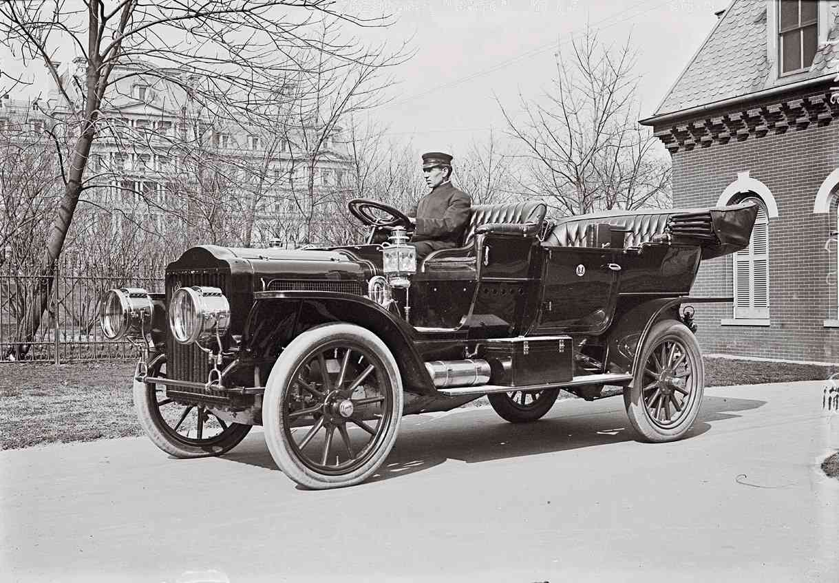
No More Foreign Cars! They’re an Abomination – A Look Back at the Hyperbole of 1909
-
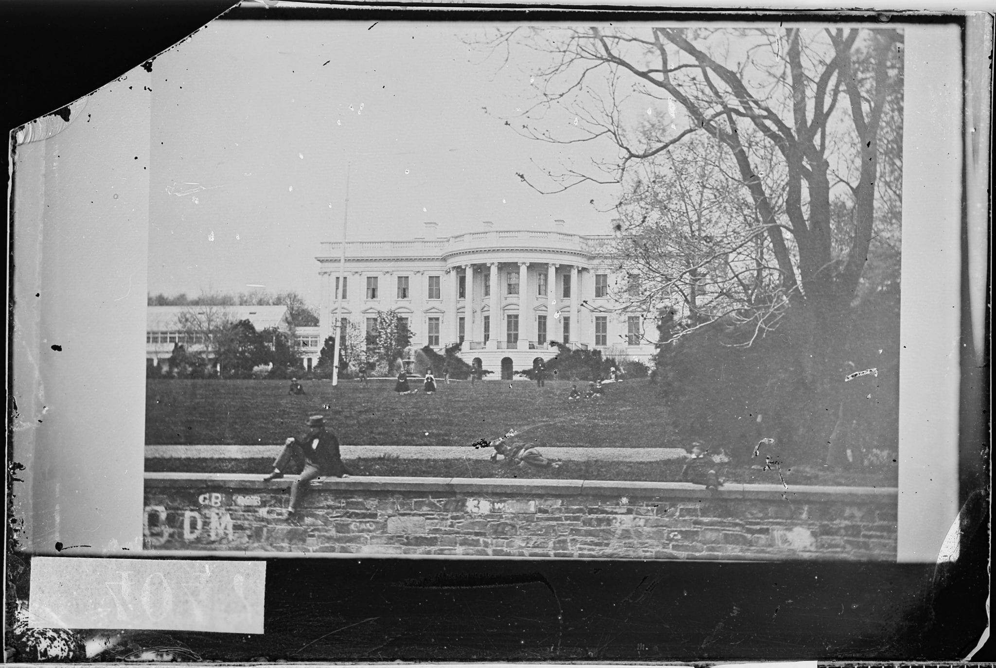
Absolute Shock: A Photo of the South Lawn of the White House During the Civil War