Skip to content
The Best Of
Neighborhoods
Southwest DC
Waterfront
Maryland
Gaithersburg
Rockville
Bethesda
Hyattsville
Silver Spring
Bladensburg
Virginia
McLean
Falls Church
Alexandria
Vienna
Arlington
Southeast DC
Congress Heights
Navy Yard
Capitol Hill
Anacostia
Northeast DC
Trinidad
Woodridge
Deanwood
Brookland
Northwest DC
Tenleytown
Park View
Friendship Heights
Brightwood
Crestwood
Sheridan-Kalorama
The Palisades
Logan Circle
Petworth
Glover Park
Bloomingdale
Georgetown
Woodley Park
Dupont Circle
Columbia Heights
Cleveland Park
Adams Morgan
Mt. Pleasant
Chevy Chase
Cathedral Heights
Chinatown
Lost Neighborhoods
Hell’s Bottom
Swampoodle
Murder Bay
Notable People & Places
Places
Washington Monument
Library of Congress
The White House
The Capitol Building
Dulles Airport
People
Franklin D. Roosevelt
Calvin Coolidge
Officer Sprinkle
Dwight D. Eisenhower
Warren G. Harding
William McKinley
Abraham Lincoln
John F. Kennedy
Teddy Roosevelt
Woodrow Wilson
Published
December 2, 2014
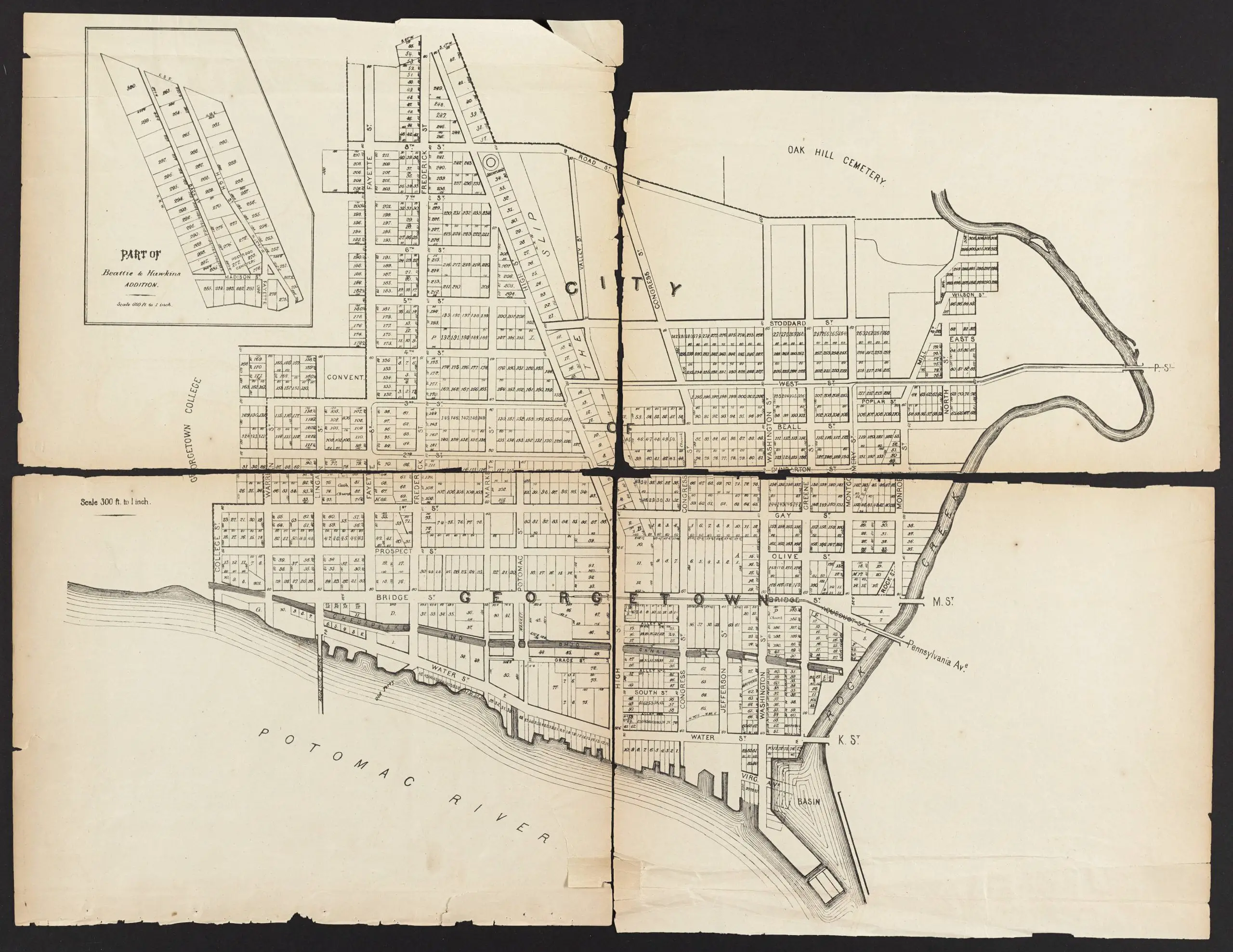
Exploring Georgetown’s Past: An 1874 Map of the City with Old Street Names
Take a journey back in time and explore Georgetown's past with this 1874 map of the city featuring the old street names. Check it out now!
The Story of How The White House Got Its Name
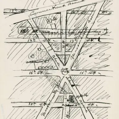
An Incredible Hand-Drawn Map of Washington, DC Centered on Scott Circle
No posts found
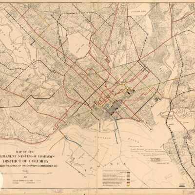
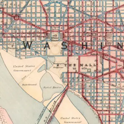
Check out this terrific 1874 map of Georgetown with the old street names.
1874 map of Georgetown
Source:
Dig DC
More For You
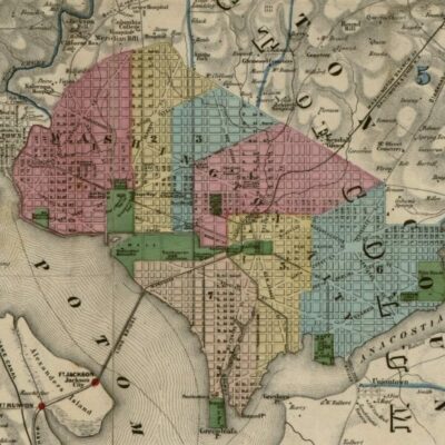
Exploring Civil War Map of D.C. and Its Surroundings
Uncovering the History of a Neighborhood Landmark: The Brookland Bowling Alley
No posts found
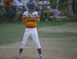
Ron Paul Crushes Double During Congressional Baseball Game
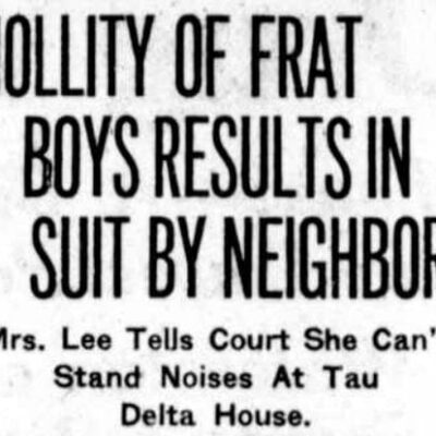
Oh My! 'Suggestive Songs' Not Good in 1921 Georgetown: A Look at the Delta Tau Delta Fraternity Noise Complaint
No posts found
Explore the Washington Streetcar System from 1912
Washington Was Originally Named Rome, Maryland
No posts found
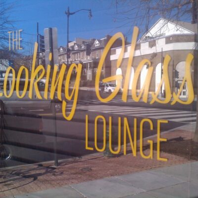
If Walls Could Talk: The Looking Glass Lounge
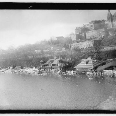
This Crazy Old Photo Shows Georgetown's Flooding and the Potomac in 1918
No posts found
Abraham Lincoln in Color
Where Was Murder Bay in Washington, DC?
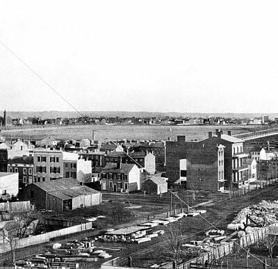
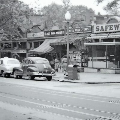
A Look Back at Columbia Heights in 1951: A Photo of 11th and Kenyon St. NW
No posts found
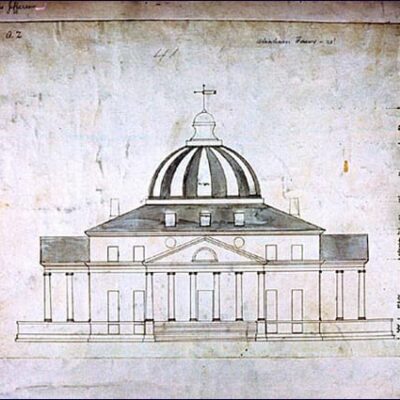
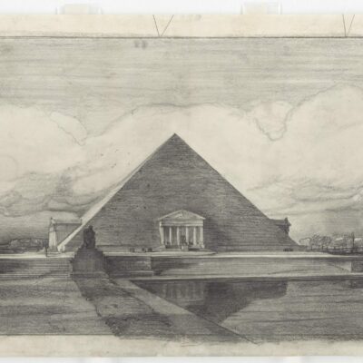
Unbuilt Wonders: The 1912 Alternative Designs for the Lincoln Memorial
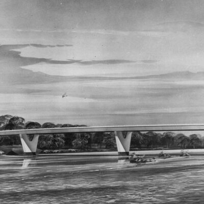
Three Sisters Bridge Across the Potomac Was Never Built
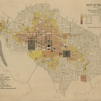
Shaw, Mt. Vernon Square, and Dupont Circle: A 19th-Century Property Value Comparison
No posts found
Washington DC Street Names Unveiled: From States to Letters and Numbers
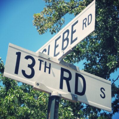
Glebe Road: History of Modern Day Arlington County
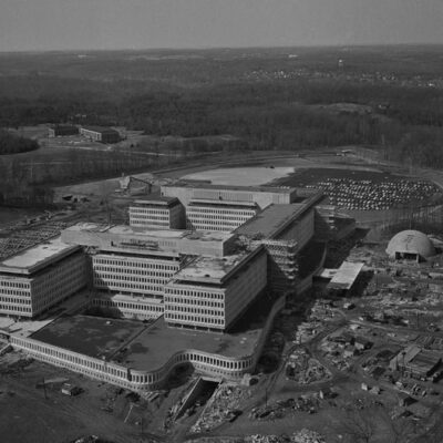
What Is the History of CIA's Langley Headquarters?
No posts found
Popular Posts
A Look Back at Defrees Alley in Washington D.C.
No posts found
Robert Todd Lincoln Attends Dedication of Lincoln Memorial
Almost-Built Highways of Washington, DC
Photos of 1940s Boarding House Living in DC
Three Sisters Island Legend in the Potomac
No posts found
Enjoy daily
Ghosts of DC stories.
SUBSCRIBE
No thanks.