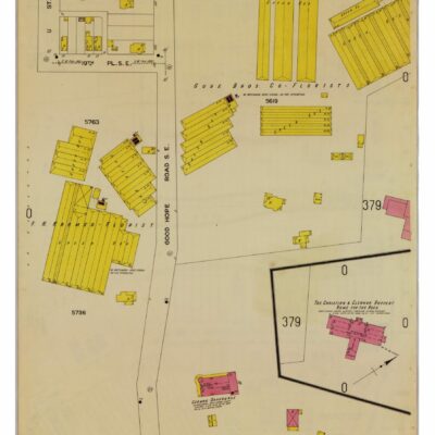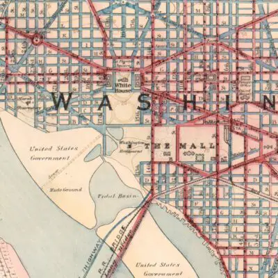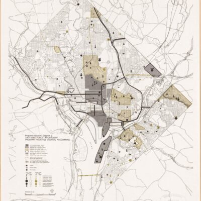
This is an incredible old map from 1887 showing today’s Mt. Pleasant and Columbia Heights. You have to click on this for greater details.
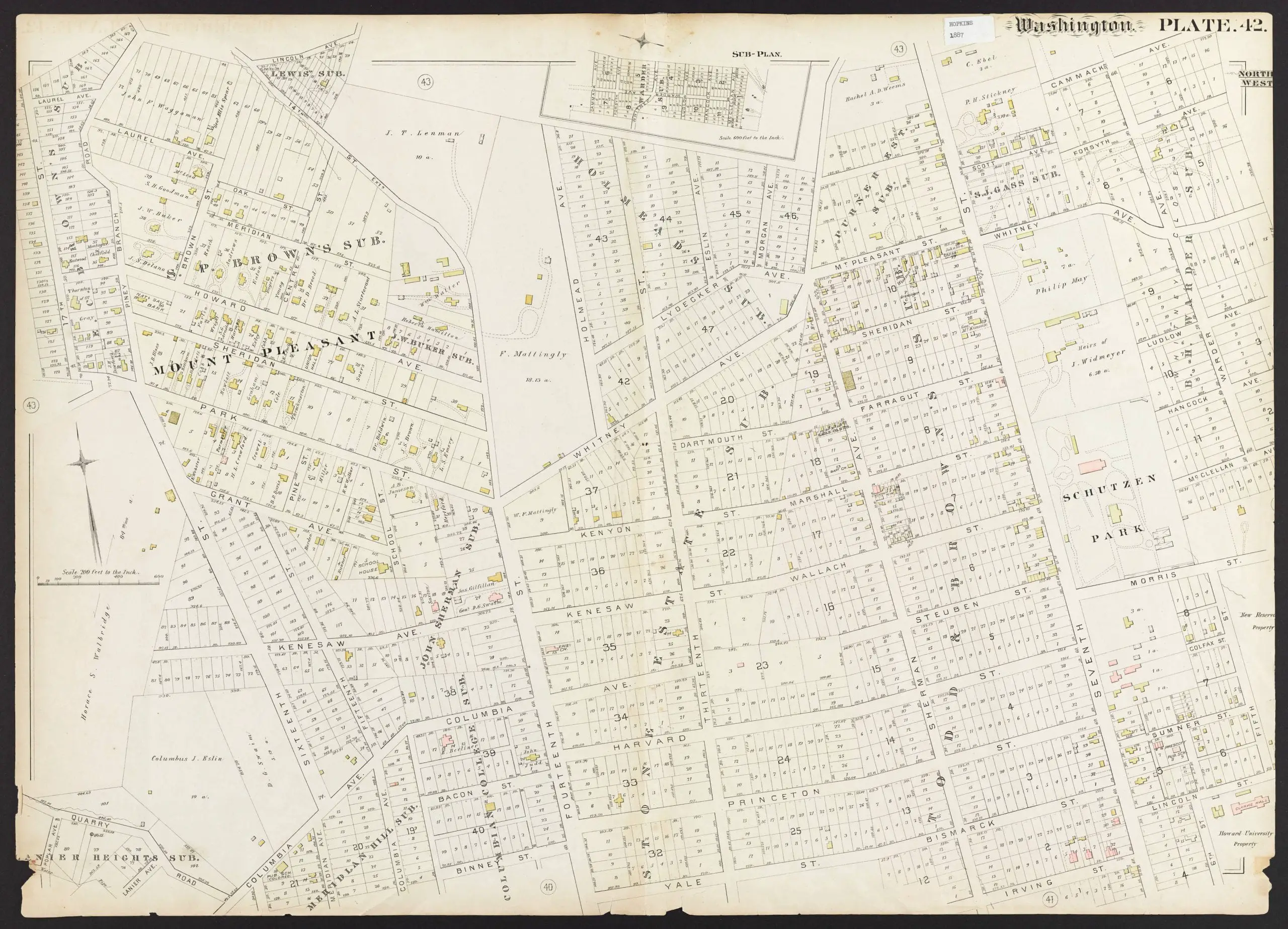
You’ll be a little confused by the old street names, so check out this old post about Columbia Heights street names before they were changed. For some reference, Whitney Ave. is Park Rd., Howard Ave. is Newton St., Sheridan St. is Monroe St., and Kenesaw St. is now Irving St.
You can also see the Columbia College Subdivision, which was where George Washington was originally located.
Source: Dig DC