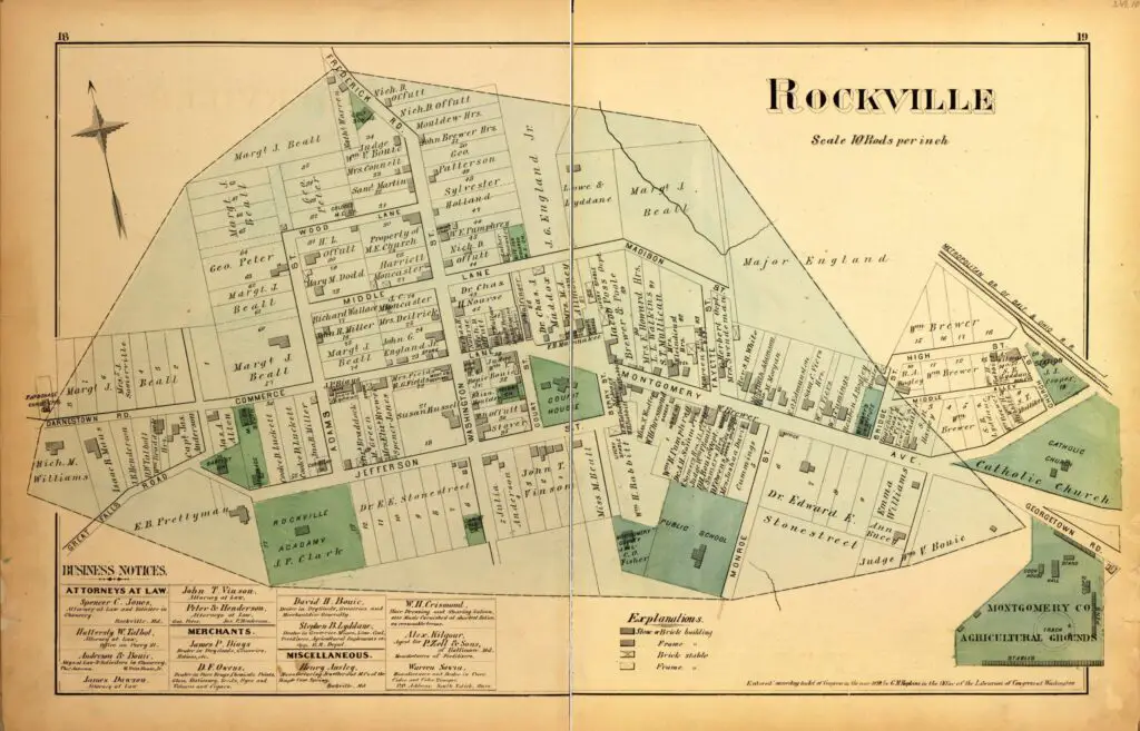
We are obsessed with old maps, and here's another one to obsess over! Take a look at this map of Rockville, Maryland in 1879. Learn more about the history of Montgomery County too!
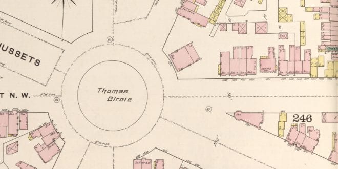
Take a virtual tour of Thomas Circle in 1888 with this Sanborn Fire Insurance Map. See the yellow wooden frame structures and the pink brick buildings of the area.
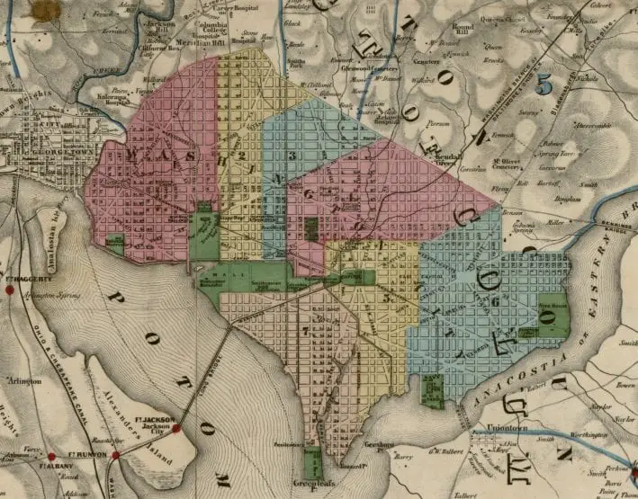
Take a look at this Civil War map of D.C. and its surroundings. Click on it for greater detail and you'll be able to see all the fortifications around the city, including Fort Totten and Fort Lincoln.
Take a look at the 1903 map of Swampoodle with the proposed Union Station superimposed over the neighborhood. See how some of the street names have been recycled in different neighborhoods. Make sure to compare this to the 1888 map as well.
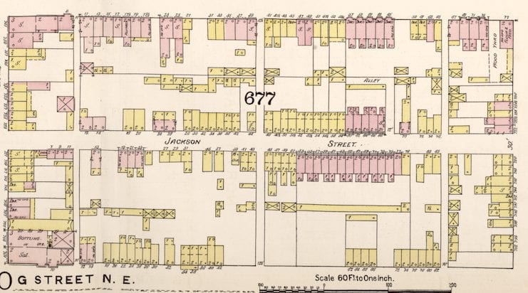
Discover the history of Swampoodle, a rough and tumble Irish neighborhood in DC, and how it was destroyed to make way for Union Station in the early 1900s. Explore the 1888 Sanborn fire insurance map of Swampoodle with Ghosts of DC.
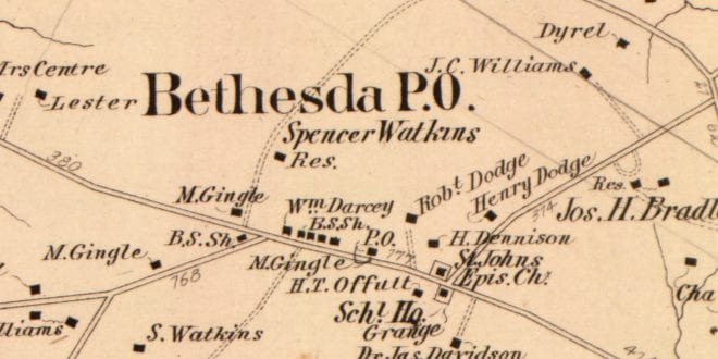
Explore the area around Bethesda and Montgomery County, MD with this 1878 map. Learn why it was named Montgomery County and more! Click for a larger map.
Explore a piece of history with us in this "GoDCers Love Maps" feature. We're taking a look at U St. back in 1921. Learn more about the area and check out the photo!