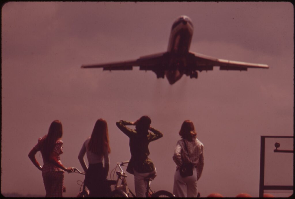
Spend your weekends relaxing and watching planes take off at Gravelly Point in National Airport. Get a glimpse at the beauty of a jet taking off with a shot of four women watching.
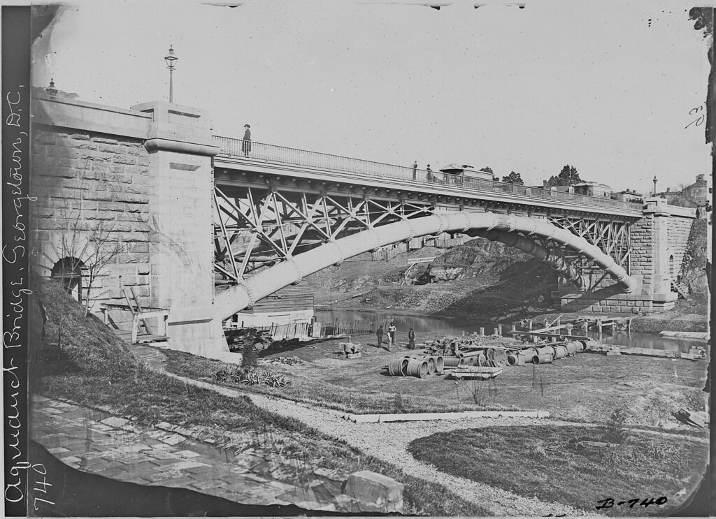
Take a journey back in time to explore the history of the Aqueduct Bridge in Washington, D.C. Learn about its dismantling in the 1920s, and see a photo of what it looked like in the 1860s.