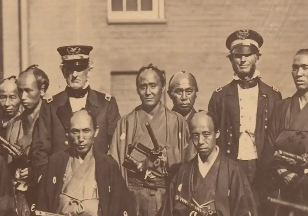
Dive into the captivating tale of Japan's 1860 leap from centuries of isolation to forging ties with the U.S. Uncover their daring voyage, America's samurai intrigue, and the birth of a legendary alliance.
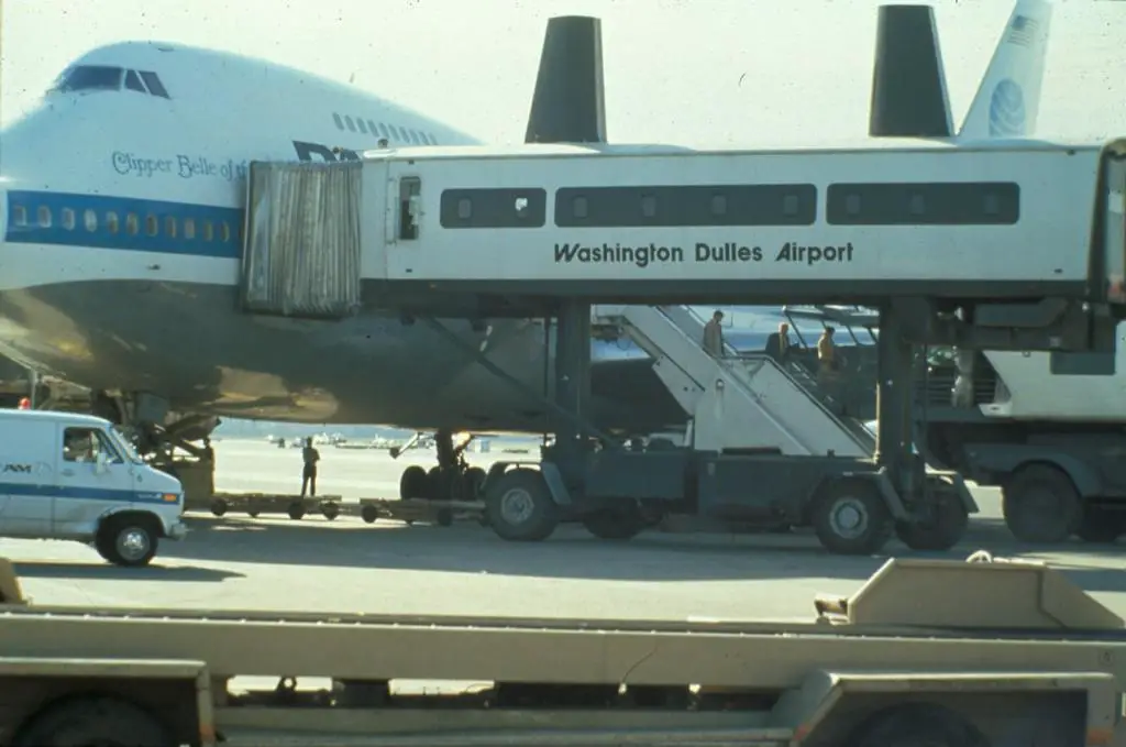
Remember when flying was glamorous and an event to really look forward to? Pan Am was an incredible experience and here are some ads for what they offered back then.
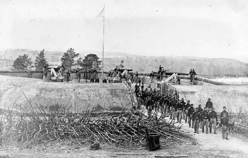
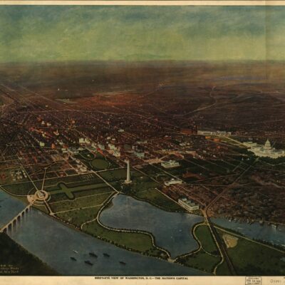
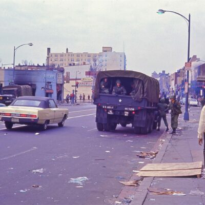
The Civil War reached the outer edges of Washington in 1864. It was so close that President Lincoln rode near the front lines of Fort Stevens and came under fire.
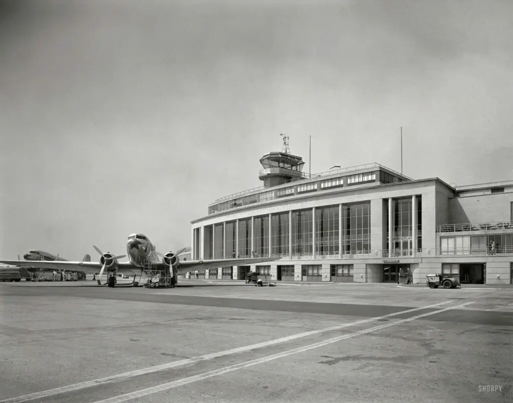
Discover the history of National Airport with a fascinating look back at the old terminal building in 1941. From its humble beginnings as Hoover Field to its critical role in World War II and subsequent expansion, learn about the changes that have shaped this important transportation hub in the heart of the nation's capital.
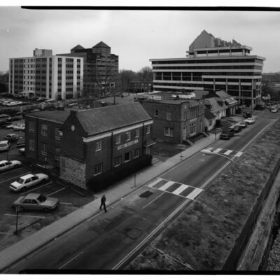
Take a look at the Federal Aviation Administration's headquarters on DC's Independence Ave. SW and compare it to what the block looked like in 1941 on the eve of World War II. See how the landscape has changed in this comparison.
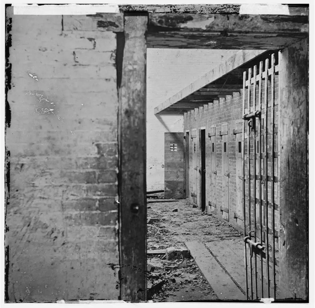
Uncovering the sad truth of the past, Slave Pens existed in and around all of Washington in the 1860s. This photo shows one of those in Alexandria during the 1860s. Learn more at the Library of Congress.
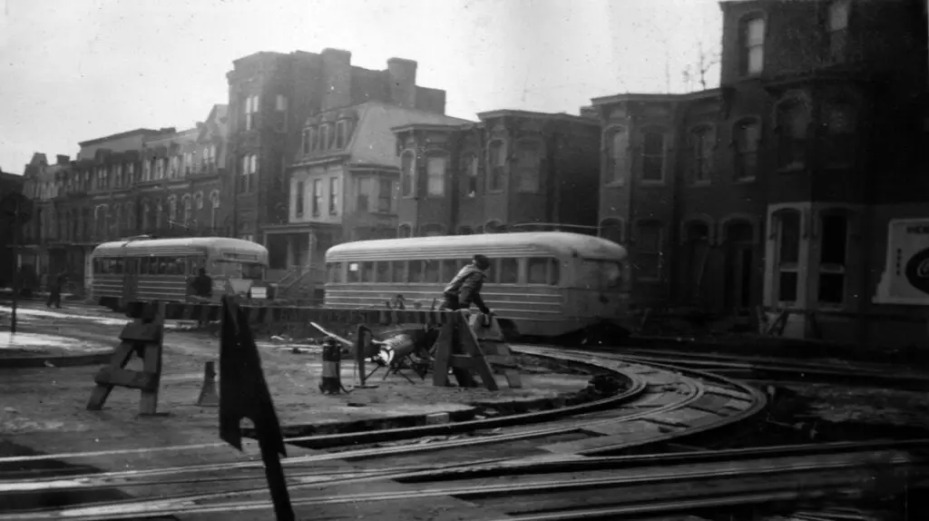
Take a trip back in time to the 1970s and learn about the construction of the Metro along Wisconsin Avenue. We've dug up an old Washington Post article from 1978 and a great diagram!
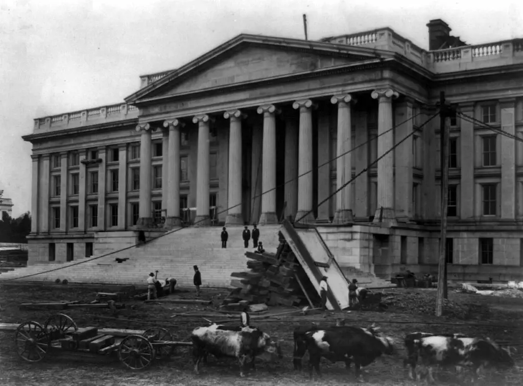
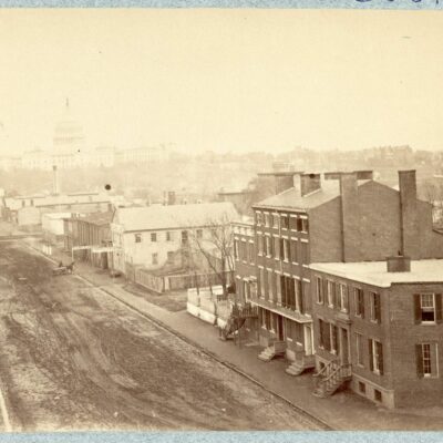
Take a look back at the Treasury Building before the Civil War in 1860 with a photo from the Library of Congress. Learn more about this historic building from this blog post.
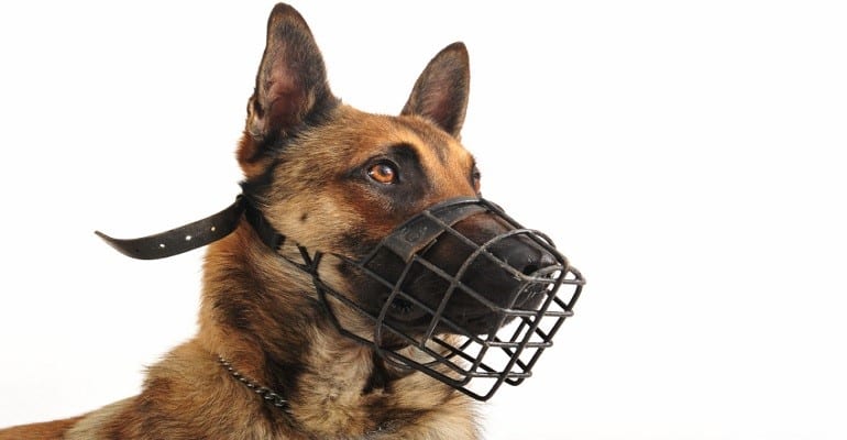
In 1928, the town fathers of Takoma Park, MD declared war on wild guns, wild dogs and wild weeds. Read on to find out the penalties for carrying such weapons without permits and the measures taken to keep dogs in check.
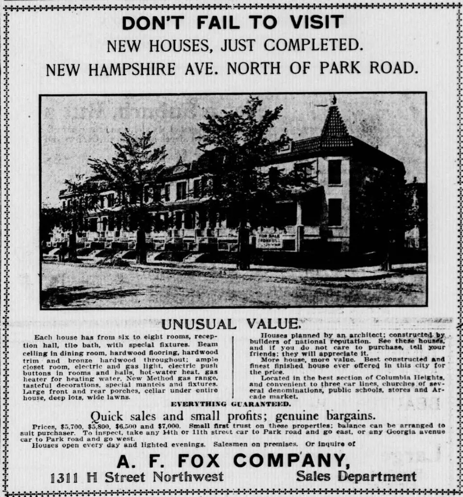
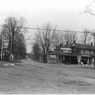
Take a look back in time to uncover the mystery of homes advertised in The Evening Star in 1912. See the Google Street View to find out what these homes look like today.
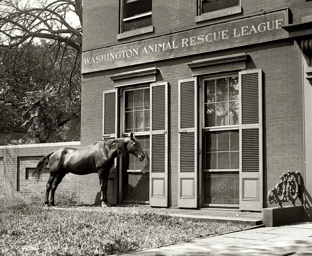
Learn about the Washington Animal Rescue League and how they have been helping animals for over 100 years. Learn how you can help with a donation today!
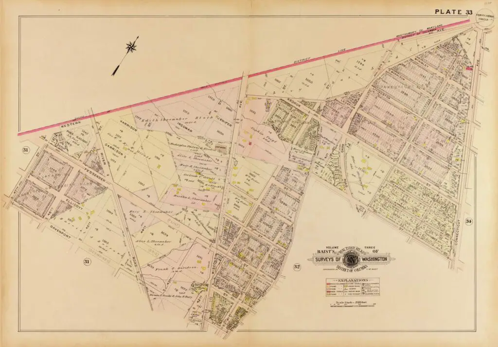
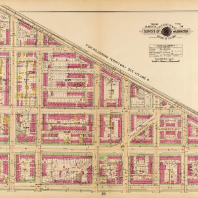
Take a look at this cool old 1909 map of the area around Friendship Heights & Chevy Chase. Thanks to GoDCer Claire, we can now explore this part of DC with a vintage map. Enjoy!