-ad 189-

An Incredible Hand-Drawn Map of Washington, DC Centered on Scott Circle

Check out this incredible hand-drawn map of Washington DC, centered on Scott Circle! You'll see Dupont Circle at the top right. Don't miss out on the play at the National Geographic headquarters (M St. between 16th and 17th) September 12-14 and 19-21. Get your tickets today!
-ad 188-

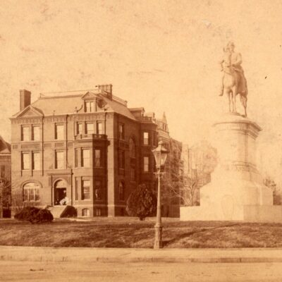
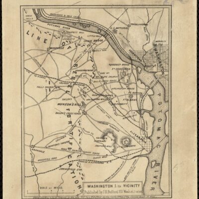
How cool is this?! It’s a hand-drawn map of Washington, centered on Scott Circle. The map is oriented with west at the top, and you’ll see Dupont Circle at the top right.

This is Bell’s hand-drawn map of downtown Washington, D.C., centered on Scott Circle. Rhode Island, Connecticut, and Massachusetts Avenues are all clearly visible on the map—as well as 15th through 19th Streets. At the intersection of Rhode Island Avenue and 15th Streets, Bell indicated the location of his Washington, D.C., residence by scrawling “A.G. Bell.” The National Geographic Society headquarters on M Street between 16th and 17th Streets would be located on the far left side of this map.

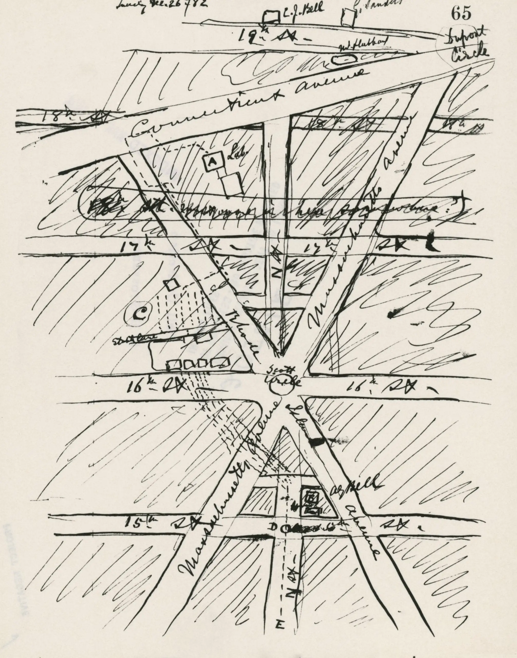
Source: National Geographic

The fine people over at National Geographic shared this with us in conjunction with a great play they are hosting later this month called BELL. The play was written by Jim Lehrer (yes that Jim Lehrer) and will premier at the National Geographic headquarters (M St. between 16th and 17th) September 12-14 and 19-21. Don’t miss out! Get your tickets today.

-ad 617-

Enjoy daily

Ghosts of DC stories.