Skip to content
The Best Of
Neighborhoods
Southwest DC
Waterfront
Maryland
Gaithersburg
Rockville
Bethesda
Hyattsville
Silver Spring
Bladensburg
Virginia
McLean
Falls Church
Alexandria
Vienna
Arlington
Southeast DC
Congress Heights
Navy Yard
Capitol Hill
Anacostia
Northeast DC
Trinidad
Woodridge
Deanwood
Brookland
Northwest DC
Tenleytown
Park View
Friendship Heights
Brightwood
Crestwood
Sheridan-Kalorama
The Palisades
Logan Circle
Petworth
Glover Park
Bloomingdale
Georgetown
Woodley Park
Dupont Circle
Columbia Heights
Cleveland Park
Adams Morgan
Mt. Pleasant
Chevy Chase
Cathedral Heights
Chinatown
Lost Neighborhoods
Hell’s Bottom
Swampoodle
Murder Bay
Notable People & Places
Places
Washington Monument
Library of Congress
The White House
The Capitol Building
Dulles Airport
People
Franklin D. Roosevelt
Calvin Coolidge
Officer Sprinkle
Dwight D. Eisenhower
Warren G. Harding
William McKinley
Abraham Lincoln
John F. Kennedy
Teddy Roosevelt
Woodrow Wilson
-ad 189-
Published
July 3, 2013
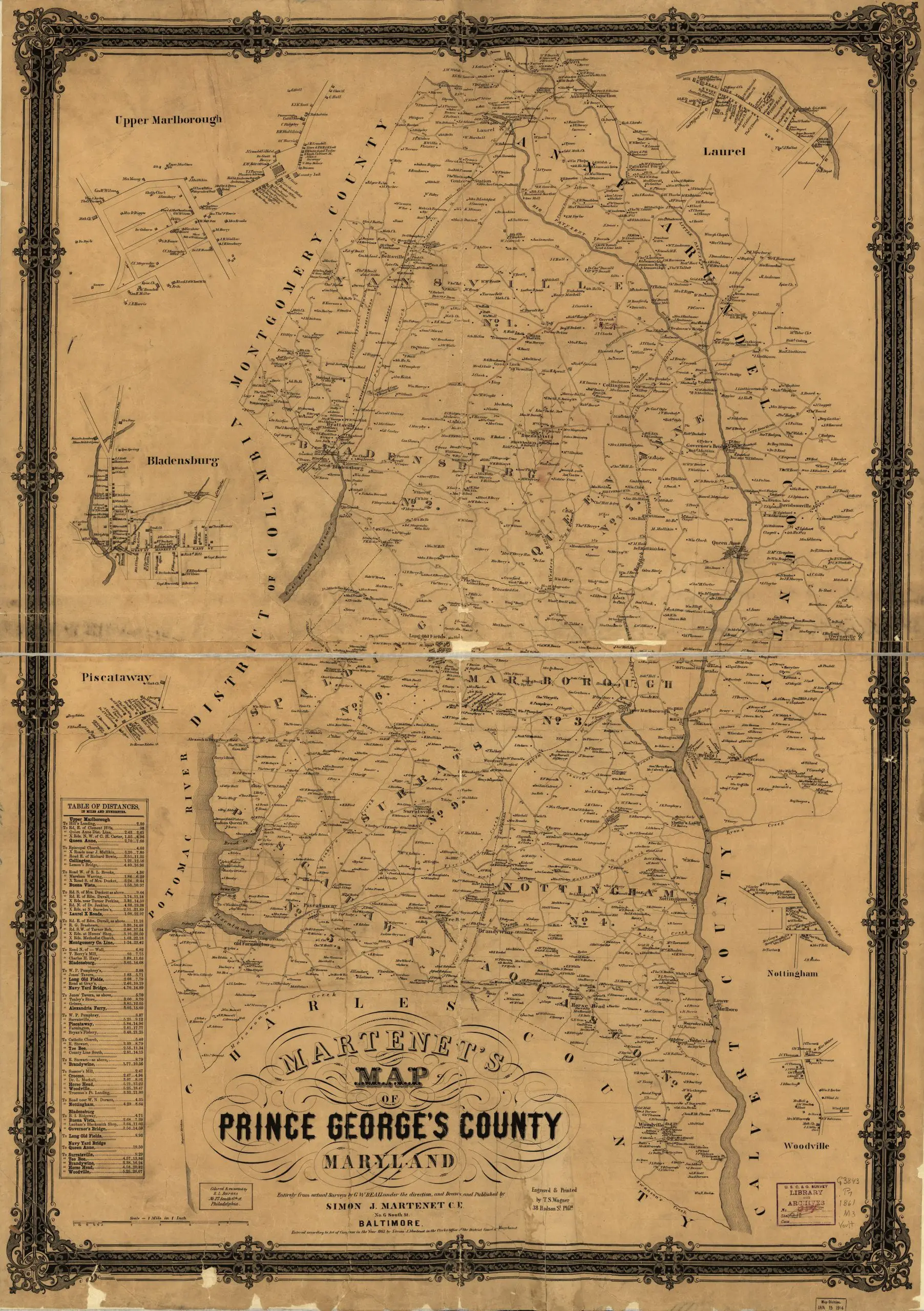
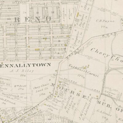
Detailed 1861 Map of Prince George’s County
Detailed 1861 map of Prince George's County, Maryland.
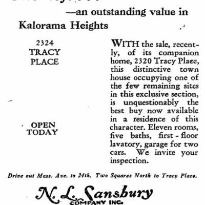
The 1929 Kalorama Home Advertisement and What it Looks Like Today
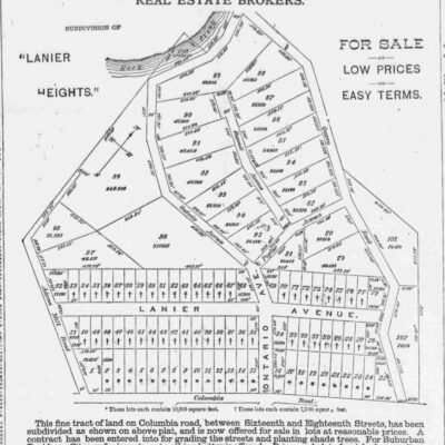
Discover Lanier Heights & Adams Morgan – Newly Subdivided Lots North of Columbia Rd. NW
No posts found
-ad 188-
Here is a great old map of Prince George’s County, done in 1861.
Martenet’s Map of Prince George’s County,
Maryland
Source:
Library of Congress
-ad 617-
More For You
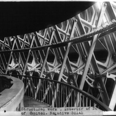
Exploring the Structural Work of the Capitol Dome in a Photo from the 1920s
The Untold Story of Francis Aebersold, Washington's Daring Teenage Rum Runner
No posts found
Exploring an 1894 Map of Tennallytown and Reno
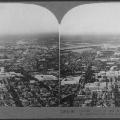
A Rare Look at Washington, DC from the Air, August 29th, 1924
No posts found
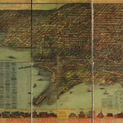
Explore Washington D.C. in 1883 with this Amazing Map
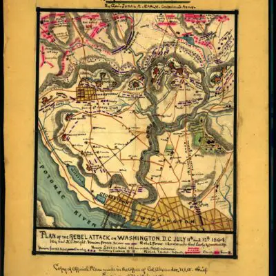
Uncovering History: A Look at Jubal Early's Rebel Attack on Washington
No posts found
1872 Street Paving Map of Washington
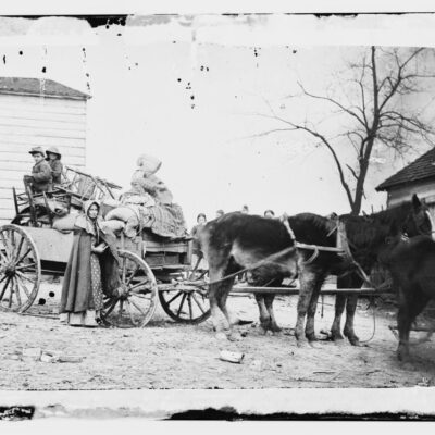
A Look at Maine Ave. SW in 1865, Right Around the Time of President Lincoln's Assassination
No posts found
Fire and Explosions Threaten to Destroy Rosslyn
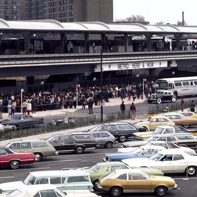
When Did Metro Open in D.C.?
History Behind Lion Statues in House of Cards Opening Credits
No posts found
-ad 615-
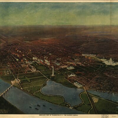
A Bird's Eye View of Washington, Looking Toward the Northeast
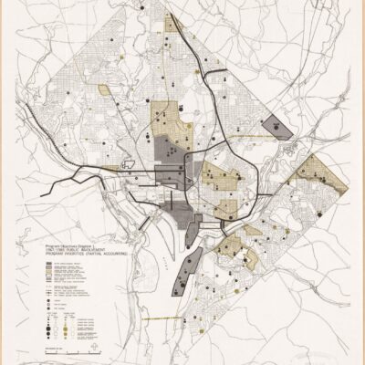
Almost-Built Highways of Washington, DC
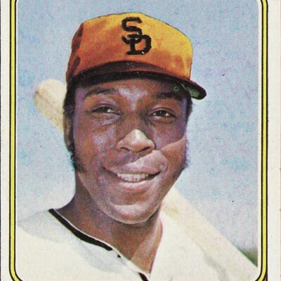
San Diego Padres Move to Washington for 1974 Season
No posts found
-ad 616-
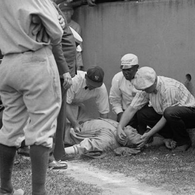
Babe Ruth Runs Into Wall; Knocked Unconscious
Why Is It Named Centreville?
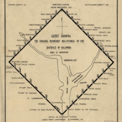
Map of All D.C. Boundary Stones From 1906
No posts found
-ad 630-
Popular Posts
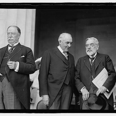
Robert Todd Lincoln Attends Dedication of Lincoln Memorial
No posts found
What Is The History of Tysons Corner?
Why Is It Named Trinidad?
A Closer Look at Thomas Circle in the 1920s
Amazing Photo of Washington Monument Apex
No posts found
Enjoy daily
Ghosts of DC stories.
SUBSCRIBE
No thanks.