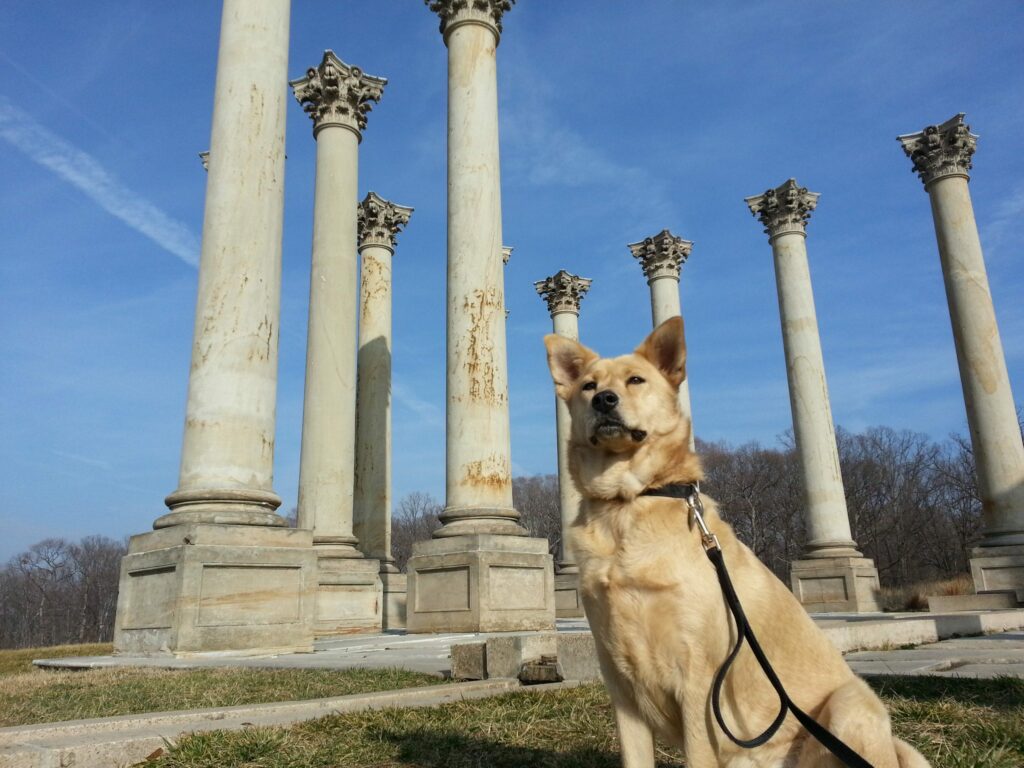
Get lost in the natural setting of the National Arboretum in Northeast D.C.! From its establishment in 1927 to a fire in 1957, explore three stories inspired by Ghost Dog's recent visit. Discover the history of this underappreciated gem just two miles from the Capitol Building.
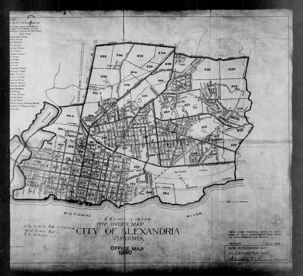
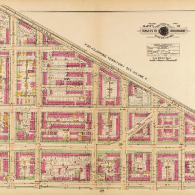
Discover what Alexandria and Arlington County looked like in 1930 with this assessment map. Get a closer look at the area's buildings and geography in this detailed map!
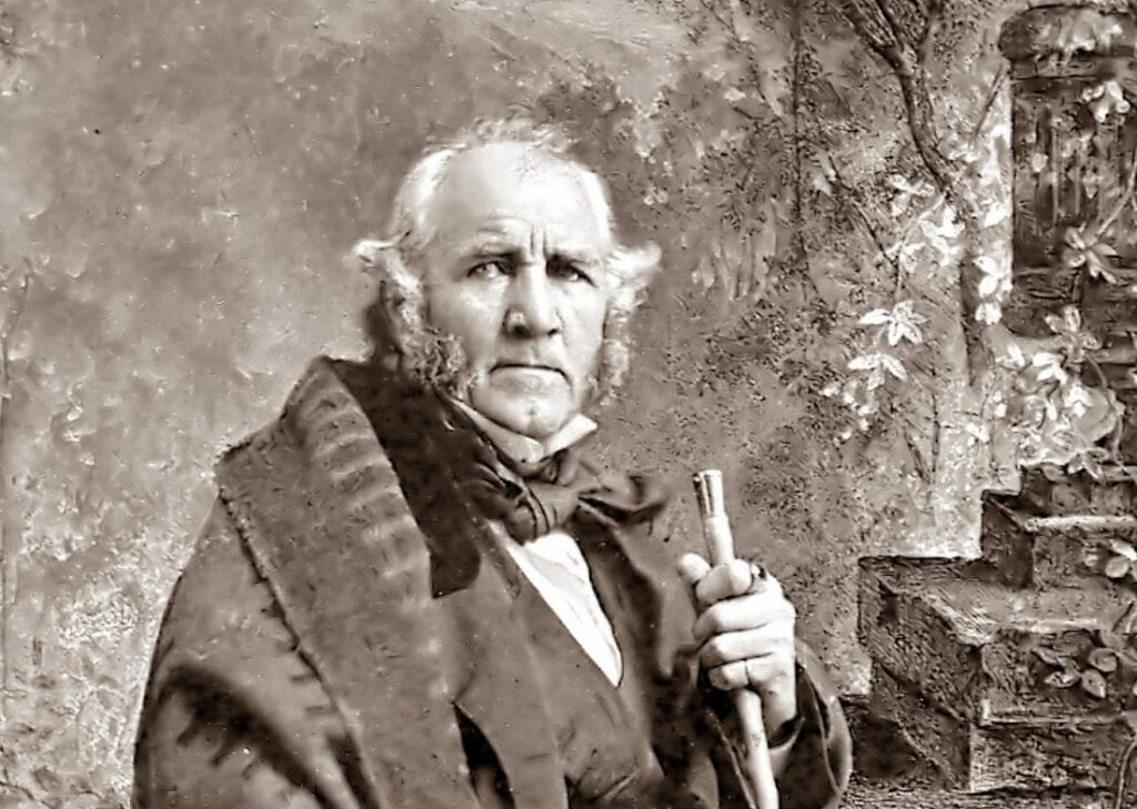
Learn about the credentials of Sam Houston, the first Senator from Texas, and the only man to have held the position of President of the Republic of Texas. Read about his official letter of credentials sent to Washington by the first Governor of Texas, Joseph P. Henderson.
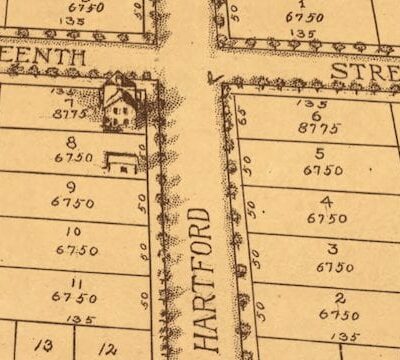
See how 1804 Kearney St. NE in Washington, DC has changed over time with this amazing journey through time! Check out the Google Street View to explore the area today.
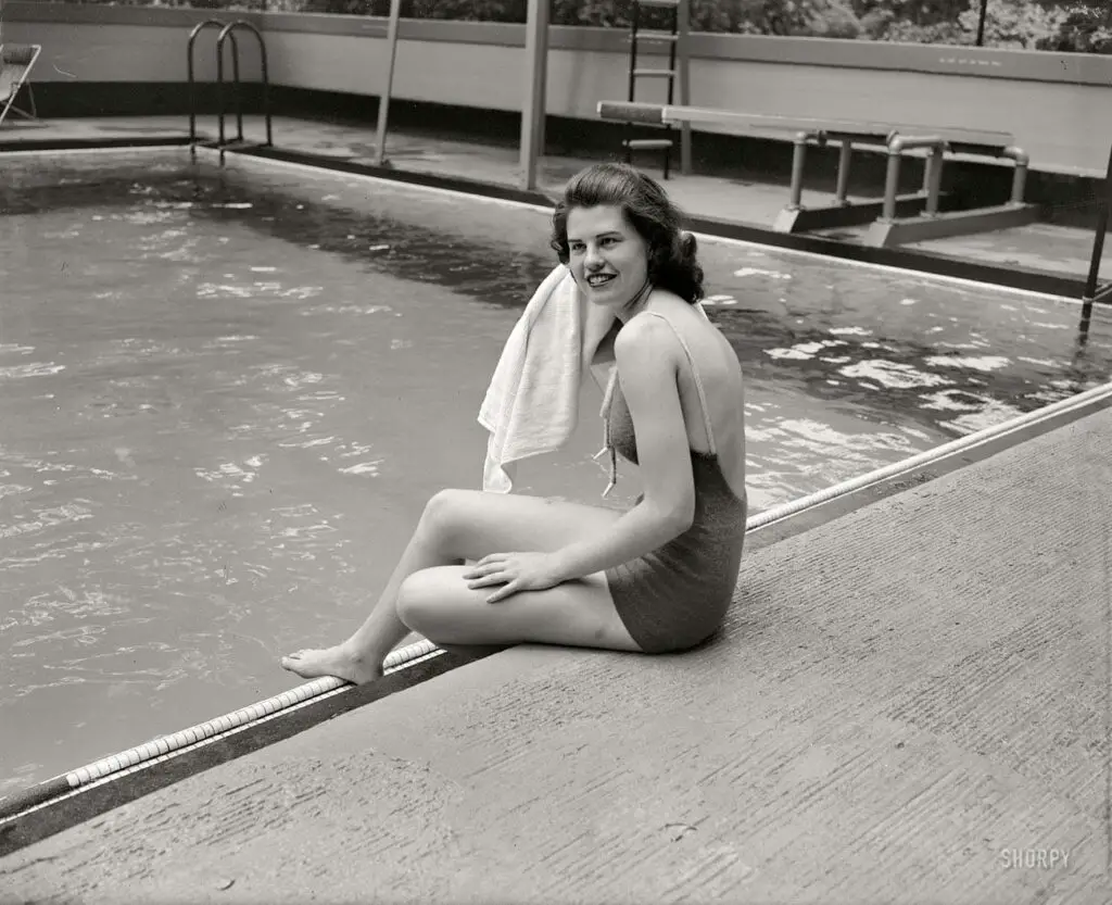
A photo of Jean Wallace, the daughter of Henry Wallace, who was FDR's Vice President before he was replaced with Harry Truman. Taken in 1937, when Wallace was Secretary of Agriculture. Find out more about the fascinating history of FDR and his Vice Presidents.
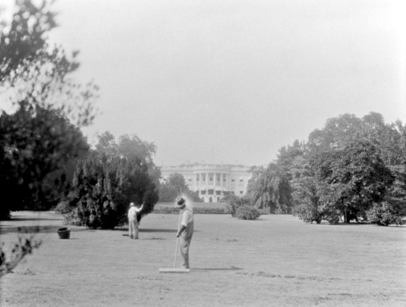
Uncovering the mystery behind the men sweeping the South Lawn of the White House in the 1920s. Find out the real reason why they were sweeping and what tools they were using in this blog post from Ghosts of DC.
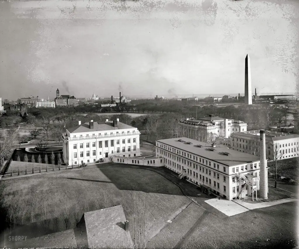
Take a journey back in time and explore this aerial view of Washington, D.C. circa 1921. In the foreground, you can see the Red Cross building and in the background, the Washington Monument and the Old Post Office Building. Click on the photo for a larger image.
Take a look back in time as we revisit the bizarre moment when Patrick Brennan, the son of the Irish Minister, gave a brief radio address from his home in Washington, D.C. in 1938. Read the full story here!
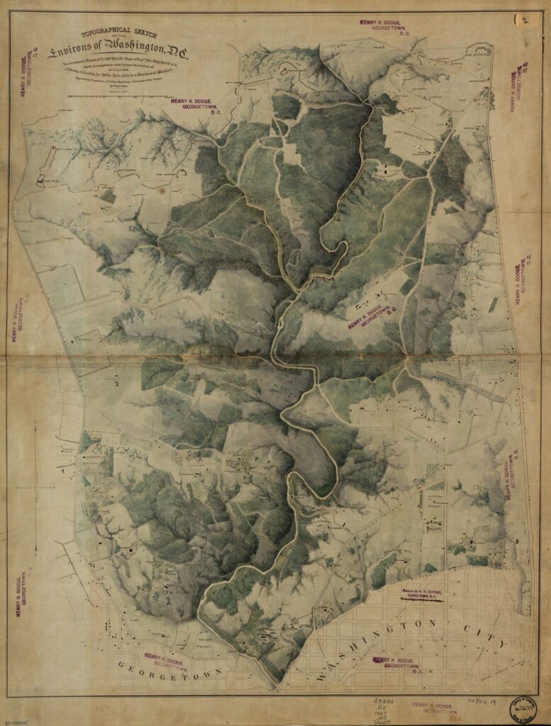
Last week we posted a detailed topographical map of Rock Creek Park from 1866. There were some great comments on it, including GoDCer Elizabeth’s observation that the map was entitled “Location for a Public Park & Site for Presidential Mansion” … intriguing.
Topographical sketch of the environs of Washington, D.C. : (survey of locality for public park & site for a presidential mansion) / to accompany report of N. Michler, Major of Eng’rs, Bvt. Brig. Gen’l...
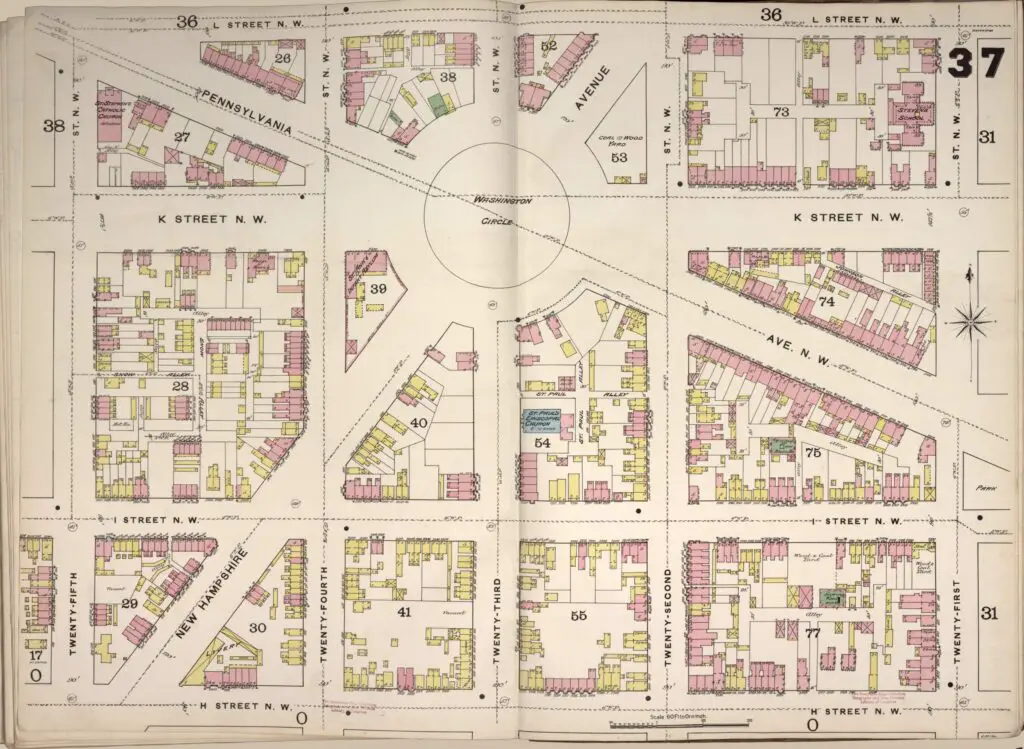
Take a look at the astonishing Sanborn Fire Map of Washington Circle in 1888. See the residential structures, many of them frame structures, that were there at the time.